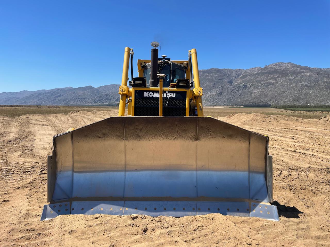
MM22 GNSS guidance
Model Maker Module 22: point, string and surface guidance with compatible RTK GNSS.
Explore MM22 →

Earthmoving & agriculture
Bring the design to the operator.
Explore GNSS guidance, automatic machine control and agricultural steering systems. We help match the workflow to your machine, site and design data.
Choose by machine and task
Choose a product to see its applications and configuration options.
Model Maker Module 22: point, string and surface guidance with compatible RTK GNSS.
Explore MM22 →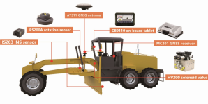
Automatic 3D control for graders.
Explore TG63 Grader 3D →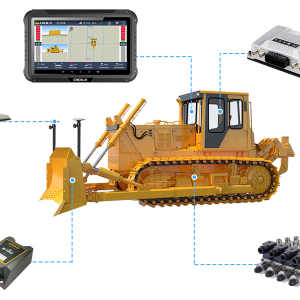
Automatic 3D control for dozers.
Explore TD63 Pro Dozer 3D →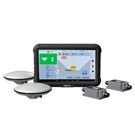
Explore excavator guidance options and confirm the right configuration.
Explore EasyNAV guidance →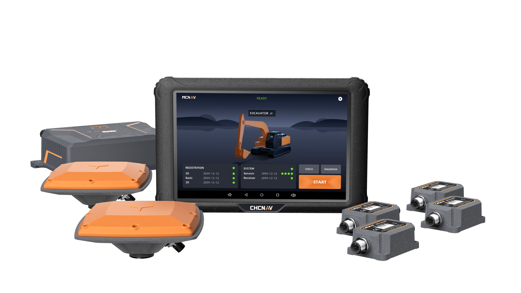
3D guidance for excavator work.
Explore TX73 GNSS Guidance →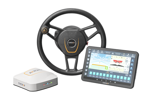
Automated steering for agricultural machinery.
Explore NX612 →Looking for NX510 agricultural steering? Ask our team about variants and compatibility →
Guidance or automatic control?
Displays the machine’s position relative to the design so the operator can act on that information.
A compatible control system acts on the machine’s steering or working implement. Suitability depends on the machine and installation.
Tell us the machine make, model, attachment, application and design-file format. We’ll help assess the appropriate configuration.
Bring your site requirements and machine details to the MMS Design team.
For Model Maker Systems software, MMS Design is an authorised reseller for the Cape regions of South Africa. Model Maker Systems develops and owns the software.
Product references: CHCNAV and Model Maker Systems. Confirm availability and compatibility for your application.
Up to 2,100 m range
Up to 2,000 kHz pulse rate
Up to 16 returns
1.85 kg integrated system
Capture LiDAR and high-quality imagery across wide corridors and large-area projects with dual 26 MP APS-C cameras and a 110° horizontal field of view.
© 2026 MMS Design | All Rights Reserved