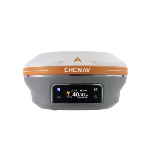
Positioning for survey & construction
GNSS receivers
Explore RTK receivers and base-rover options for your field surveying workflow.


We aim to not only to sell a product, but to provide a professional solution.
CHCNAV equipment · Local expertise
Find equipment for surveying, reality capture, construction, agriculture and marine projects. Start with your application, then explore the right tools with MMS Design.
Featured · Handheld 3D scanning
Explore the CHCNAV RS7 and its workflow for capturing buildings, interiors and existing spaces in 3D.
Explore the CHCNAV RS7 →Conventional surveying
Explore total station instruments for measurement and setting-out workflows.
View total stations →Find your starting point
Positioning for survey & construction
Explore RTK receivers and base-rover options for your field surveying workflow.
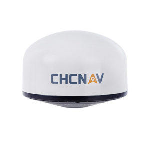
Satellite reception
Find antennas for GNSS positioning and reference station applications.
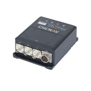
Navigation & reference stations
Explore GNSS sensor solutions for positioning, navigation and CORS infrastructure.
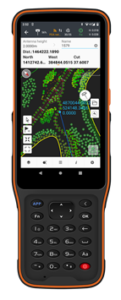
Your field interface
Choose field controllers and handhelds for collecting and managing survey data.
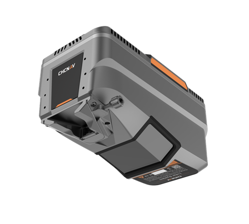
Mapping from above
Explore the AlphaAir LiDAR range and X500 drone for terrain, corridor and aerial mapping.
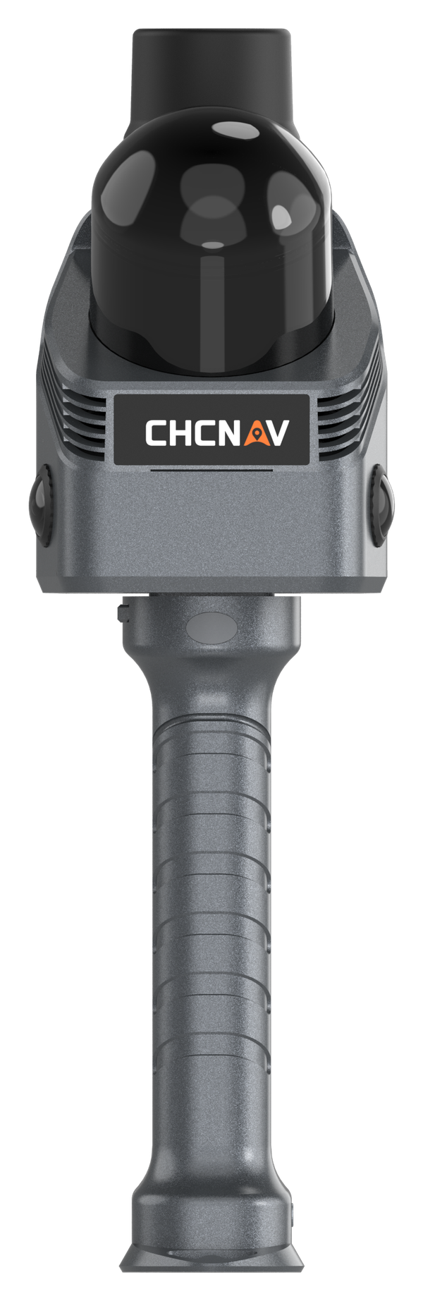
Walk-through 3D capture
Explore RS7, RS10, SLAM200E and YHS12C for handheld scanning and reality capture.
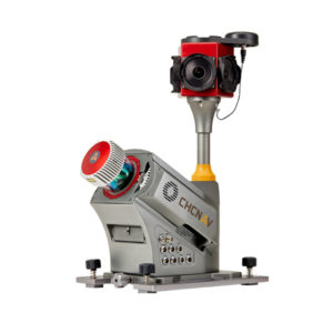
Roads, corridors & assets
Explore AU20 and AlphaUni vehicle-mounted LiDAR for roads, infrastructure and asset surveys.
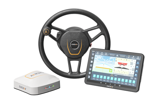
Guidance & autosteering
Explore GNSS autosteering and precision agriculture solutions for field operations.
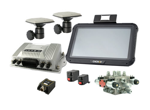
Earthworks & construction
Explore positioning and guidance systems for construction machinery.
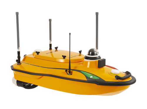
Bathymetry & hydrography
Explore echo sounders and unmanned surface vessels for surveying on the water.
Check GPSNet coverage and subscription options for compatible GNSS receivers.
Explore GPSNet →Connect field collection with software for survey calculations, terrain modelling and engineering design.
Explore software →Find technical support resources and get help with your equipment or workflow.
Find support →Start with your project
Tell us what you need to measure, your working environment and the outputs you need. We’ll help you assess suitable equipment and demonstration options.
GNSS Receivers brings speed and accuracy in one
easy-to-use solution to complete your surveying
and construction projects efficiently.
Professional field surveying data collectors and controllers that gives much flexibility to surveyors during fieldwork.
The fastest total stations in its class, allows you to perform routine operations much faster, saving time.
Professional field surveying data collectors and controllers that gives much flexibility to surveyors during fieldwork.
CHCNAV self developed LiDAR algorithms, seamless workflows with scanners that are accurate, simple to use and affordable!
Extremely robust and efficient solution for vehicle independent mobile mapping.
Designed for various precision agriculture surveying applications and industries.
Our Machine Control and Guidance solutions are engineered to increase productivity and to improve the bottom line.
Small, portable, robust, and very accurate echo sounders making Hydrographic Surveying simpler and more productive.
Up to 2,100 m range
Up to 2,000 kHz pulse rate
Up to 16 returns
1.85 kg integrated system
Capture LiDAR and high-quality imagery across wide corridors and large-area projects with dual 26 MP APS-C cameras and a 110° horizontal field of view.
© 2026 MMS Design | All Rights Reserved