Buildings & interiors
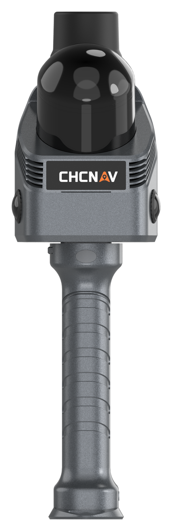
CHCNAV RS7
Handheld LiDAR and inertial SLAM for rooms, corridors, staircases and other indoor mapping work.
Explore product →

Handheld reality capture
Explore SLAM scanners for buildings, interiors and field surveys. Choose the workflow that fits your space, positioning needs and deliverables.
Compare scanners ↓Choose your handheld system
SLAM estimates the scanner’s movement as it maps its surroundings. Compare indoor capture, integrated RTK positioning and specialist site options below.
Buildings & interiors
Handheld LiDAR and inertial SLAM for rooms, corridors, staircases and other indoor mapping work.
Explore product →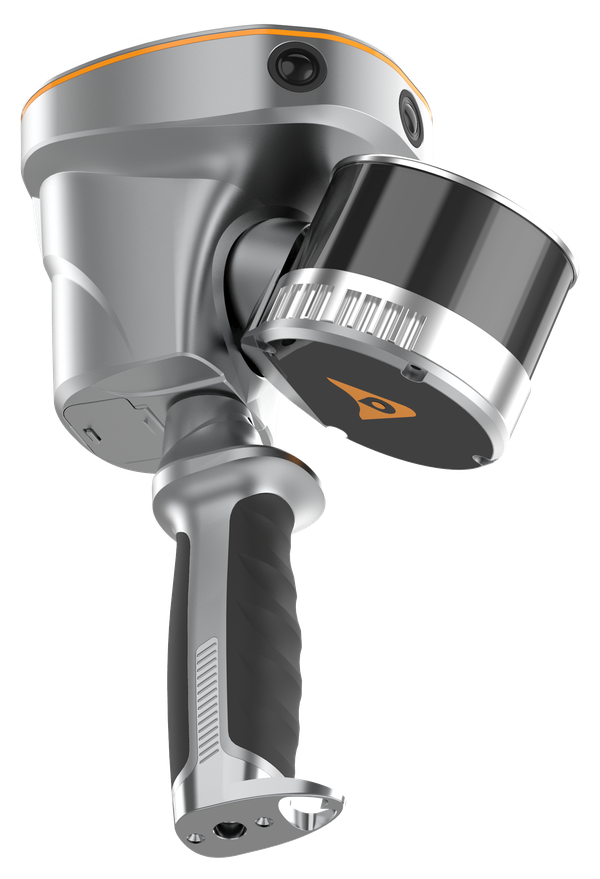
RTK + SLAM
Combine GNSS RTK, laser scanning and visual SLAM for connected indoor and outdoor survey workflows.
Explore product →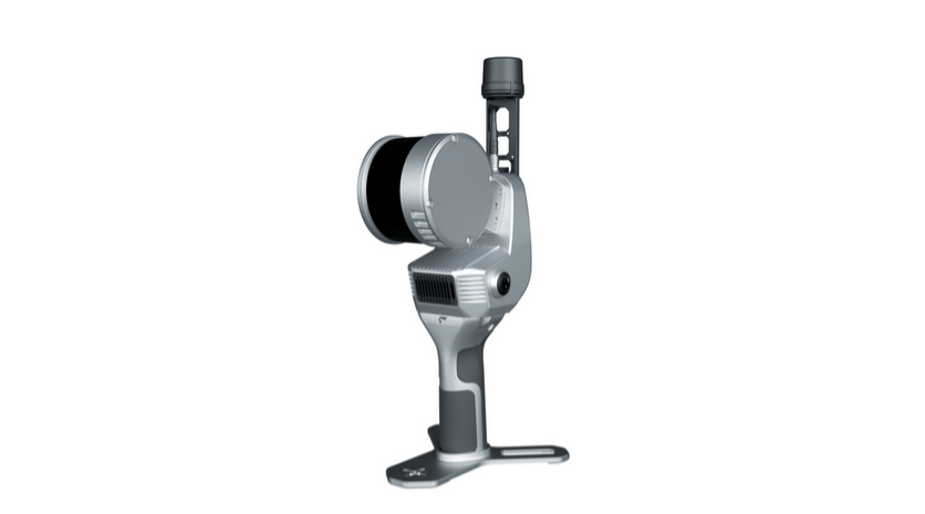
Handheld reality capture
Explore a portable handheld scanner for capturing spaces and creating point clouds while you move through the site.
Explore product →
Specialist site scanning
A specialist SLAM scanning option. Discuss your site conditions and application requirements with MMS Design.
Explore product →01 · Environment
Rooms, corridors, vegetation and outdoor sites place different demands on a scanner and the capture route.
02 · Positioning
Choose how the scan will connect to survey control and your project coordinate system.
03 · Deliverables
Start with the required point cloud, drawings, model or measurements, then choose the processing workflow.
Describe your site and outputs. We’ll help you compare the suitable systems.
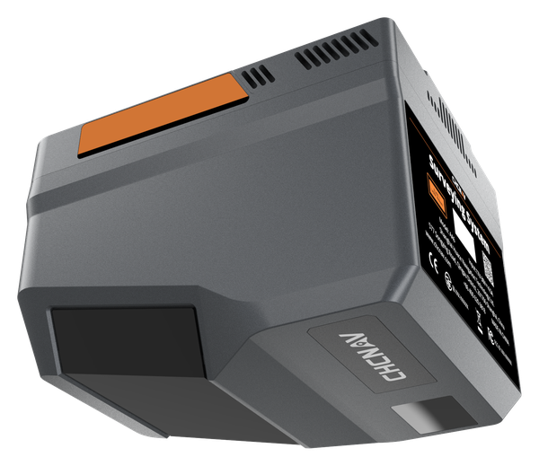
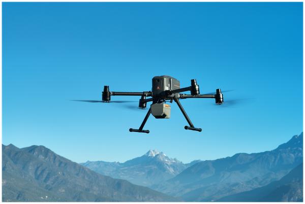
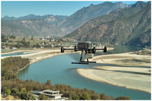
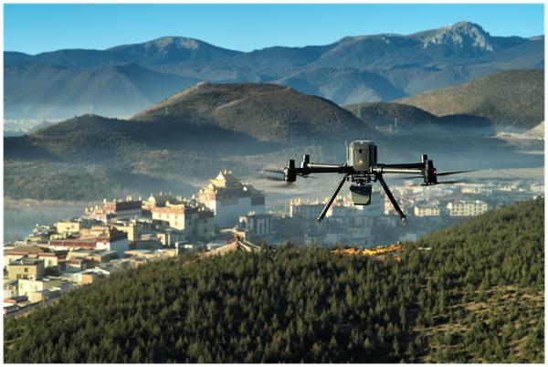
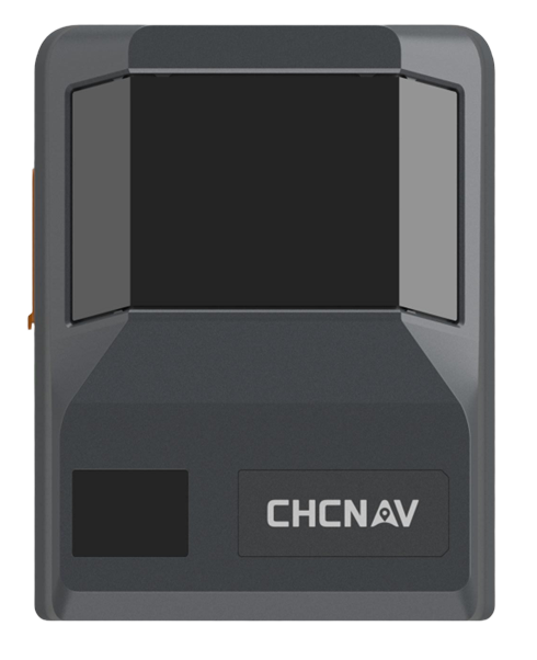
Capture survey-grade 3D data across complex terrain, corridor and large-area mapping projects with a lightweight, high-performance airborne LiDAR system.

0.3°/h bias instability
Pitching/Rolling 0.006°
Heading 0.015°
2100 m max range
2000 kHz max PR
16 Echos
100-600 m typical AGL

Single 25/100 MP camera or
Dual half-frame camera
1.35 kg scanner weight
(155mm*120mm*129mm)
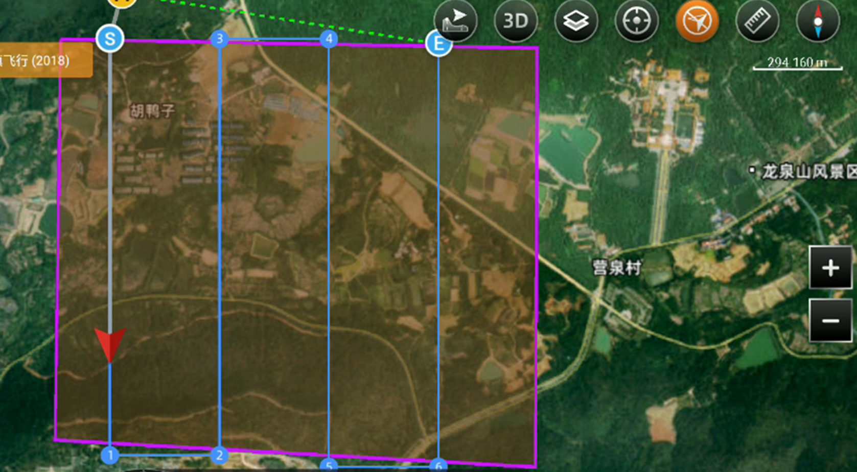
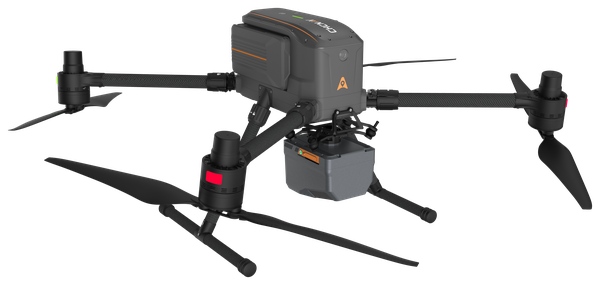
15 km2 coverage per mission with X500 Drone !
Combining next-generation prism scanning technology with a high-grade inertial navigation system, the AA6 delivers a maximum ranging capability of up to 2,100 m and supports typical operating altitudes of 100–600 m AGL.
With such high-performance IMU
:: No need for strip adjust @ 120 m
:: HZ accuracy: 5 cm @ 120 m
:: V accuracy: 5 cm @ 120 m
:: No need for stationary before and after flight
:: Support flight-free calibration, but disabled by default, prepare for narrow area
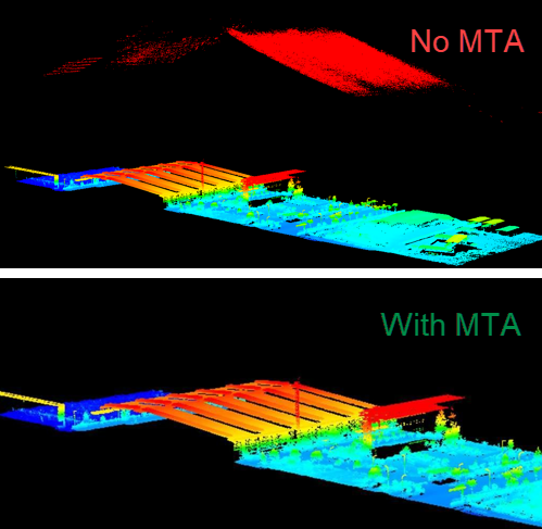
Multiple-time-around (MTA) processing capability corresponds to solving ability under high-AGL and high-PRR. The stronger the MTA capability, the farther the detectable distance will be. AA6 support real-time point clouds @ 2000 kHz PRR
Utilize advanced multi-target capabilities with up to 8 target echoes, enabling effective penetration of dense vegetation. Create accurate DEMs and DSMs in challenging environments with improved ground surface acquisition.
Capture detailed imagery with the integrated camera.
Single camera version, AA6
:: M4/3 CMOS sensor size
:: Effective pixels: 25/100 MP
:: 12 mm focal length
:: 74° FOV
Generate high-resolution point clouds and orthomosaic outputs for superior 3D model reconstruction and realistic textures.
Streamline your 3D data acquisition with SmartGo field Software and CoPre and CoProcess PC software, facilitating post-processing and feature extraction. Achieve high-quality results with an easy-to-use, efficient workflow from data collection to final output.
At only 1.35 kg, the AA6 supports longer flight times and broad UAV compatibility. Open interfaces and streamlined mounting help survey teams deploy quickly across corridor, terrain and large-area missions.
© 2026 MMS Design | All Rights Reserved
Up to 2,100 m range
Up to 2,000 kHz pulse rate
Up to 16 returns
1.85 kg integrated system
Capture LiDAR and high-quality imagery across wide corridors and large-area projects with dual 26 MP APS-C cameras and a 110° horizontal field of view.