Bulldozers
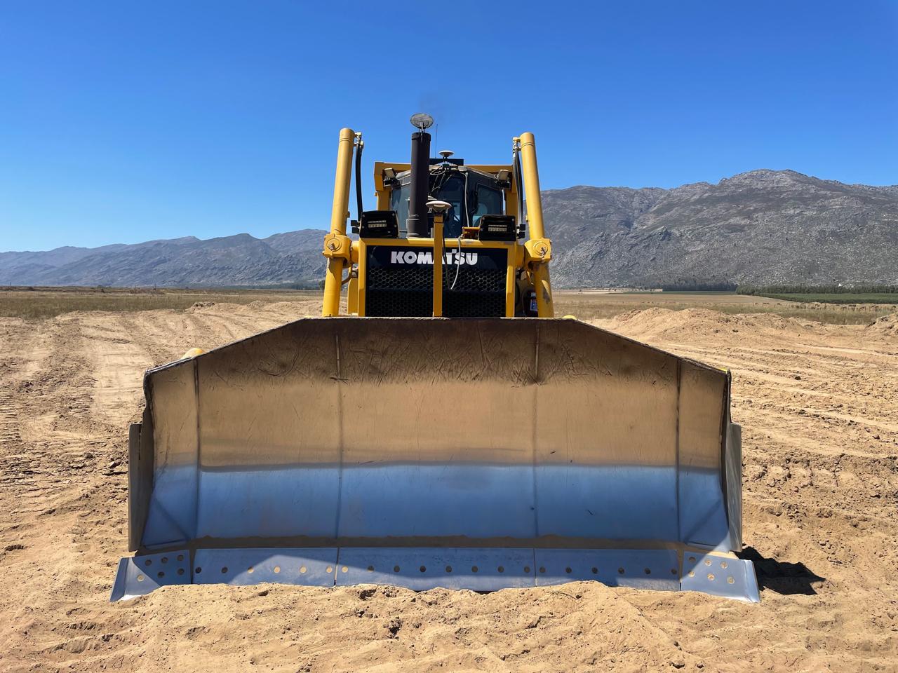
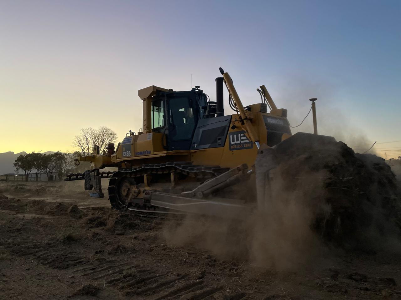
Guide earthworks against design surfaces and planned alignments.


Model Maker · Module 22
Take your design into the field.
Point, string and surface guidance for compatible RTK GNSS setups. For bulldozers, excavators, piling and pole planters, with configuration matched to the machine and task.
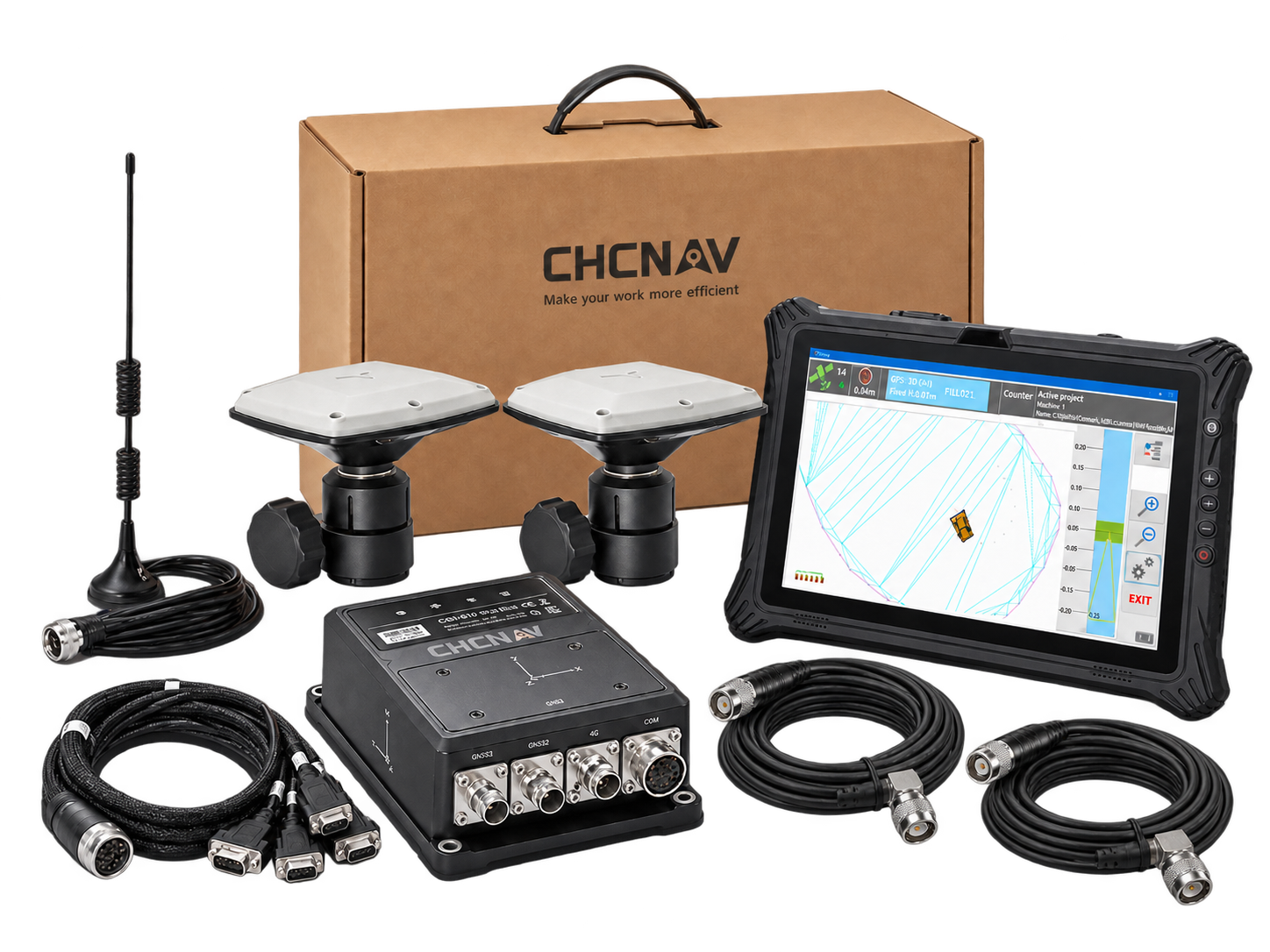
Match the machine to the work
MM22 can be configured for bulldozers, excavators, piling and pole planters. MMS Design can help assess the machine, attachment, GNSS installation and offsets for the intended work.
Guide earthworks against design surfaces and planned alignments.
Use design positions and levels to guide excavation work.
Guide positioning against planned pile locations.
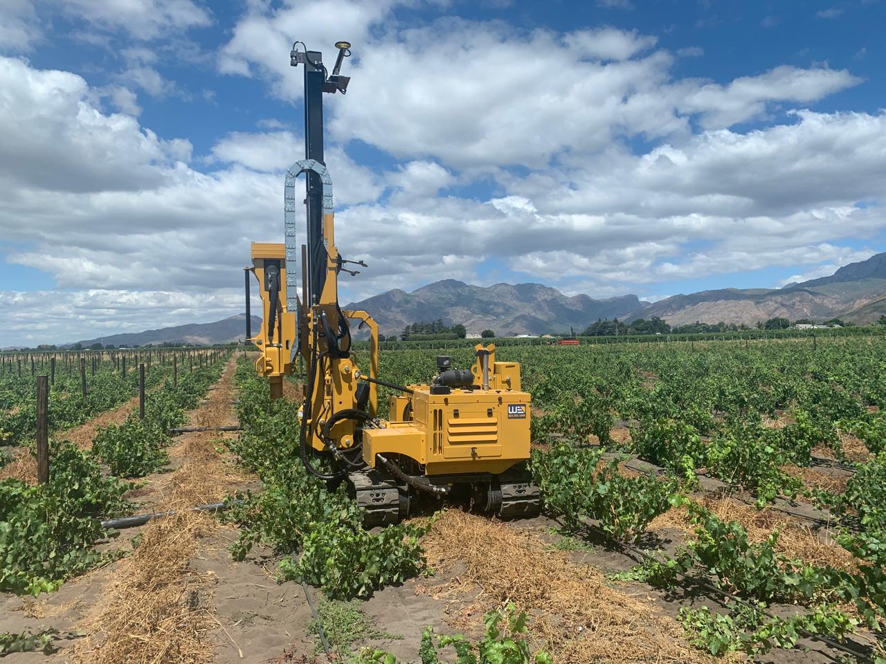
Follow planned pole positions and row alignments, including vineyard work.
Point · String · Surface
GNSS machine guidance, connected to your Model Maker design.
With compatible RTK GNSS equipment, Module 22 brings design positions, alignments and surface levels into the operator’s view.
Guide the operator towards a selected DTM point.
See the machine’s position relative to a design string.
Use cut-and-fill information to guide work against the design surface.
Planning a machine guidance or control setup? We can help assess the software, GNSS equipment and machine configuration together. Automatic control requires a separately confirmed compatible system.
Module 22 is developed by Model Maker Systems. MMS Design is the authorised reseller for the Cape regions of South Africa.
MM22 in the field / Earthmoving
See the MM22 bulldozer application in cut-and-fill and alignment work.
MM22 in the field / Vineyards
Tell us about your machine, design data and intended work. We can help assess the software, positioning equipment and installation requirements together.
Up to 2,100 m range
Up to 2,000 kHz pulse rate
Up to 16 returns
1.85 kg integrated system
Capture LiDAR and high-quality imagery across wide corridors and large-area projects with dual 26 MP APS-C cameras and a 110° horizontal field of view.
© 2026 MMS Design | All Rights Reserved