

☰
☰
CHCNAV NX612
Automated Steering System

The CHCNAV NX612 Automated Steering System delivers reliable performance in diverse agricultural landscapes. It connects seamlessly to GNSS RTK networks and CHCNAV SkyTrix satellite correction services, providing ±2.5 cm accuracy even in remote areas without network coverage, making it suitable for precision farming anywhere.
The system's compact drive wheel motor saves cab space and improves operator comfort. Its industrial-grade 12-inch HD display with large icons, 3D views and a user-friendly interface makes operation simple and efficient.
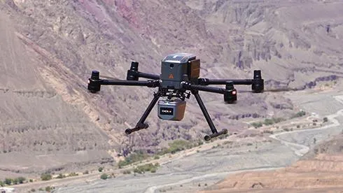
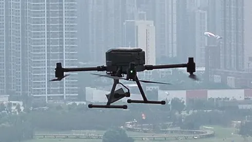
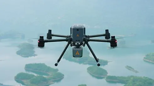
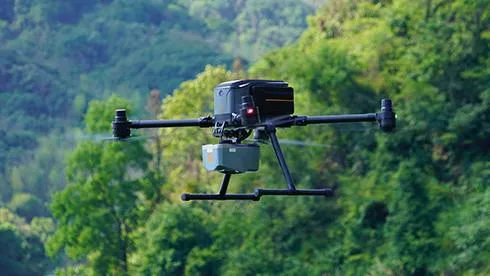
The CHCNAV X500 rotor UAV is a professional drone engineered for exceptional payload capacity and endurance.
Equipped with advanced flight controls and high-precision positioning, it delivers superior maneuverability, stability, and flight performance. Its built-in visual SLAM and obstacle detection radar ensure intelligent, safe operations.
Compatible with CHCNAV sensors and third-party payloads, the X500 is ideal for applications such as surveying, urban surveillance, emergency scouting, disaster relief, and inspection missions.

MAIN FEATURES
MAIN FEATURES
Multiple GNSS & PPP Modes
Exceptional Performance
Multiple Guideline Patterns
Highly Versatile
USE CASES
USE CASES
Precision Seeding
Strip Cropping
Crop Spraying
Harvesting Optimization
BENEFITS AND PERFORMANCES
BENEFITS AND PERFORMANCES
01 GNSS RTK and PointSky Positioning
The NX612 supports GNSS RTK corrections and integrates PointSky PPP, CHCNAV’s satellite-based correction service, providing ±2.5 cm accuracy even in areas without network access.
02 ISOBUS Complaint
The NX612 supports ISOBUS UT, AUX-N, TC-BAS, TC-SC, and TC-GEO, enabling real-time monitoring and smart control of farm implements. Users can collect and manage operational data, ensuring precise and efficient farming practices.
03 Smarter U-turn
With five U-turn modes available—Basic AB Line U-turn (including Skipping U-turn), A+ Line U-turn, Curve Line U-turn, Boundary U-turn, and Headland U-turn—the system adapts to diverse operational requirements.
04 Online Farm Management
An optional access to the FarmMaster platform provides advanced farm management utilities. It features a detailed real-time dashboard and remote management tools that allow farmers to create tasks, transfer data and view location information.
05 Advanced Implement Guidance
With advanced implement guidance, the NX612 maintains accuracy and straightness when operating on slopes. By keeping implements in line, it prevents drift and improves accuracy.
06 Panoramic Control View
Four-channel cameras provide a panoramic view arround your equipment, improving safety and reliability for large harvesters and other vehicles during farming operations.


© 2026 MMS Design | All Rights Reserved
Wide-coverage dual-camera LiDAR for demanding UAV surveys
Up to 2,100 m range
Up to 2,000 kHz pulse rate
Up to 16 returns
1.85 kg integrated system
CHCNAV AlphaAir 6 Dual (AA6D)
Capture LiDAR and high-quality imagery across wide corridors and large-area projects with dual 26 MP APS-C cameras and a 110° horizontal field of view.