
CHCNAV TX73 Excavator Guidance System
Highlights
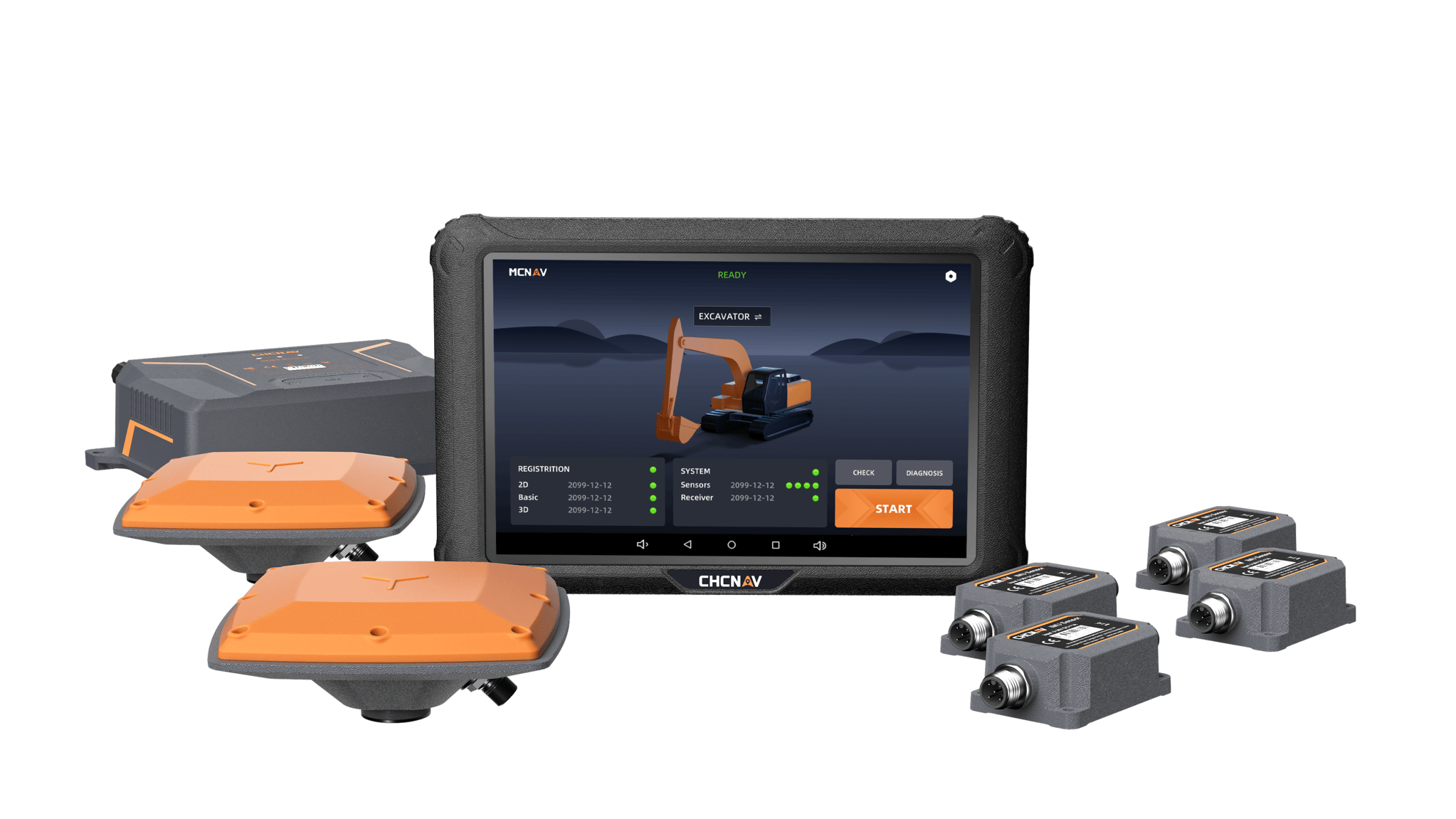
The MCNAV TX73 is a 3D excavator machine control system that combines advanced GNSS receivers with robust IMU sensors to accurately determine the bucket tip’s position. Real-time excavator grade control against the design surface lets the operator dig straight to target depth, significantly reducing the need for traditional survey methods. As a result, the TX73 boosts productivity and cost efficiency, enabling projects to be completed faster and more economically.
PRECISION PERFORMANCE
The MCNAV TX73 is a 3D excavator machine control system that combines advanced GNSS receivers with robust IMU sensors to accurately determine the bucket tip’s position. Real-time excavator grade control against the design surface lets the operator dig straight to target depth, significantly reducing the need for traditional survey methods. As a result, the TX73 boosts productivity and cost efficiency, enabling projects to be completed faster and more economically.
High Accuracy and Precision
The TX73's high-precision GNSS positioning uses full GNSS constellations and advanced IMU sensors to deliver real-time excavator grade control, reducing human error and over-excavation while maintaining the alignment, depth, and slope essential for high-quality results.
Enhanced Safety
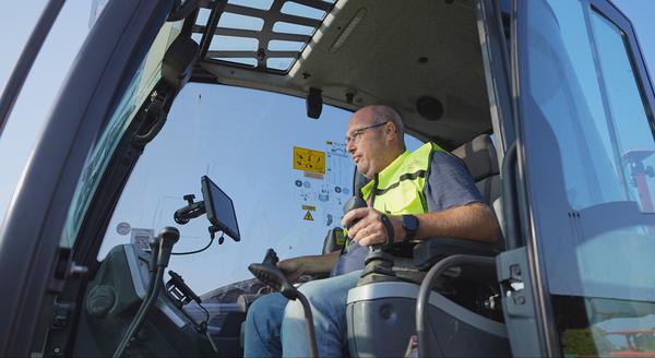
Safety is improved by making as-built drawings visible to machine operators, who can anticipate potential hazards such as underground utilities. Automated guidance minimizes worker exposure to hazardous environments and reduces the likelihood of accidents.
SEAMLESS INTEGRATION
Safety is improved by making as-built drawings visible to machine operators, who can anticipate potential hazards such as underground utilities. Automated guidance minimizes worker exposure to hazardous environments and reduces the likelihood of accidents.
Robust and Durable Hardware
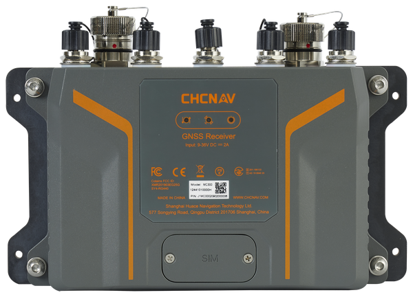
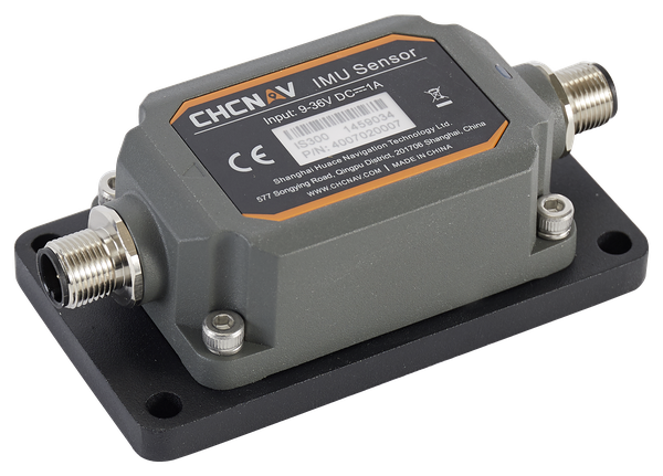
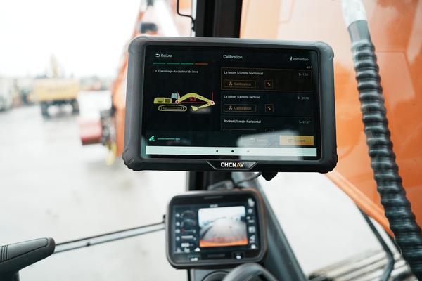
The system is designed with durable components, including the MC300 receiver, an IP69K-rated IMU sensor, dual IP68 GNSS antennas, and a quick-release mechanism for easy tablet removal, to ensure durability in harsh environments.
Wide Compatibility
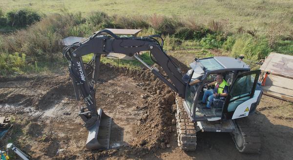
Integrate with a wide range of attachments including Engcon and Steelwrist tiltrotators and tripple boom systems.
Advanced Visualization
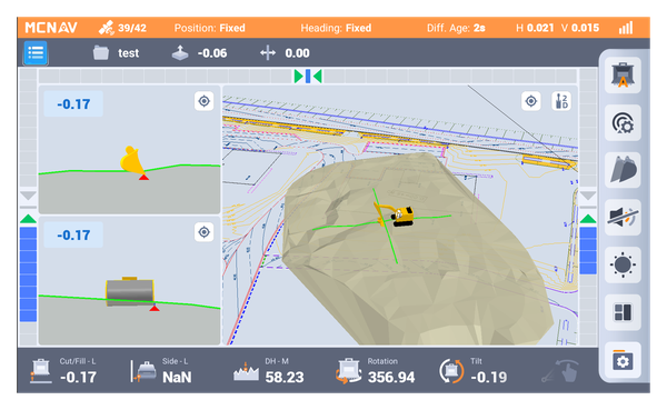
3D view with advanced CAD engine for project files and drawings.
Real-Time Updates and Support
Over-the-air (OTA) updates keep the system up-to-date with the latest features and enhancements, while the MCSite cloud platform enables remote troubleshooting and data synchronization, ensuring minimal downtime and maximum operational efficiency.

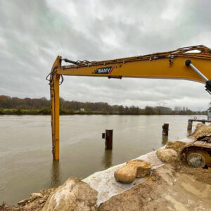
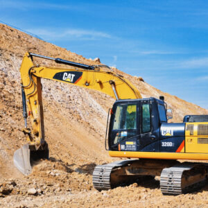
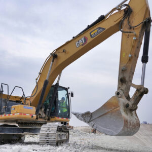
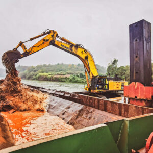
Application & Use Cases





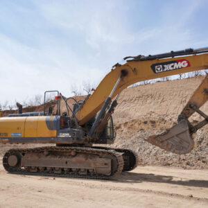
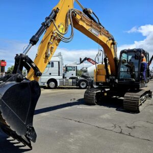
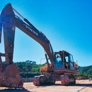
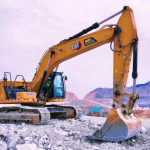
Wide-coverage dual-camera LiDAR for demanding UAV surveys
Up to 2,100 m range
Up to 2,000 kHz pulse rate
Up to 16 returns
1.85 kg integrated system
CHCNAV AlphaAir 6 Dual (AA6D)
Capture LiDAR and high-quality imagery across wide corridors and large-area projects with dual 26 MP APS-C cameras and a 110° horizontal field of view.
TX73 GNSS Guidance
Premium RTK GNSS Excavator Guidance
Social Media


© 2026 MMS Design | All Rights Reserved