

☰
☰
EasyNAV EMG100
Simple 3D Excavator System
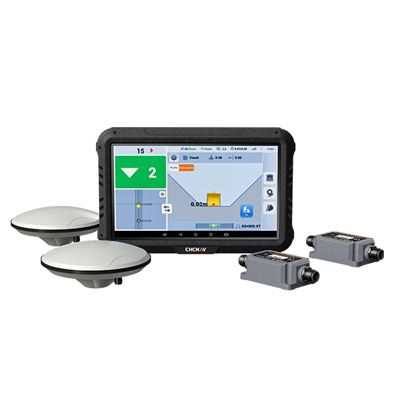
The EasyNAV EMG100 3D Excavator System is a precise and user-friendly solution designed for efficient excavation. Its integrated components and advanced excavator algorithms enable quick installation and calibration, delivering centimeter-level accuracy suited for small construction projects.
The EasyNAV EMG100’s in-field design capabilities reduce reliance on surveyors, allowing operators to perform tasks independently with accuracy and efficiency. By streamlining operations and lowering labor costs, the EasyNAV EMG100 supports high-quality excavation while enhancing productivity.
The EasyNAV EMG100 3D Excavator System is a precise and user-friendly solution designed for efficient excavation. Its integrated components and advanced excavator algorithms enable quick installation and calibration, delivering centimeter-level accuracy suited for small construction projects.
The EasyNAV EMG100’s in-field design capabilities reduce reliance on surveyors, allowing operators to perform tasks independently with accuracy and efficiency. By streamlining operations and lowering labor costs, the EasyNAV EMG100 supports high-quality excavation while enhancing productivity.
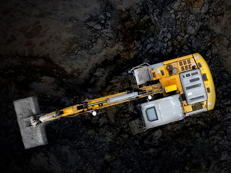
MAIN FEATURES
MAIN FEATURES
Easy to Use
Easy to Set Up
Easy to Profit
USE CASES
USE CASES
Slope and Embankment Construction
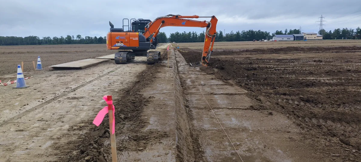
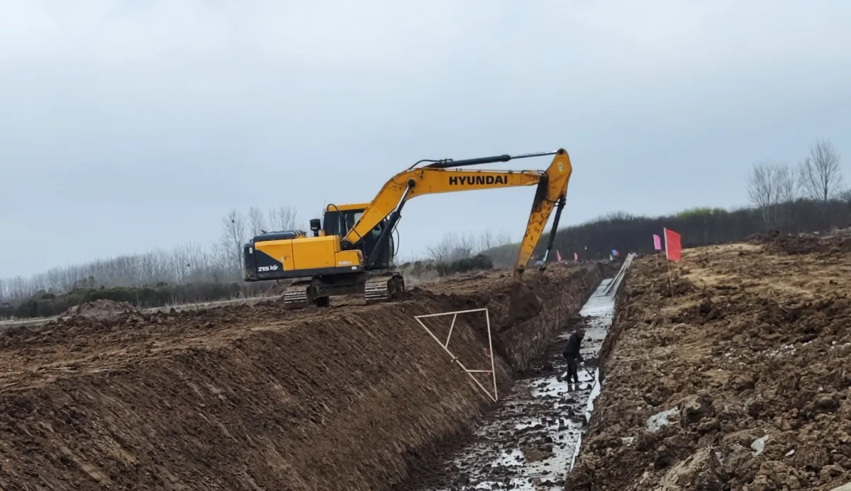
Trench Excavation
Plane Excavation
Foundation Excavation
BENEFITS AND PERFORMANCES
BENEFITS AND PERFORMANCES
On-site Surface Design
Creation and modification of surface plans directly in the field, without the need for surveyors or additional support staff.
02 Rapid Installation and Calibration
Installation in less than 2 hours and calibration in 15 minutes, for minimal downtime and faster deployment.
03 Extended Coverage
Centimeter accuracy with real-time cut/fill volume data, for precise excavations with fewer errors and less rework.
04 Broad Machine Compatibility
Compatible with swivel booms, triple booms, tilt buckets (with optional IMU sensor) and multiple bucket profiles for adaptability to different excavator models.
05 Seamless Connectivity
Seamless connection to GNSS RTK networks and RTK base stations*, ensuring a consistent workflow and minimizing downtime.
* RTK Base and radio module are not included in the standard package, but NTRIP is standard. A GPSNet subscription is included for the first 12 months.
06 Simplified Operation
Designed for operators of all experience levels with clear indicators, large numbers and an intuitive display that reduces learning time.
© 2026 MMS Design | All Rights Reserved
Wide-coverage dual-camera LiDAR for demanding UAV surveys
Up to 2,100 m range
Up to 2,000 kHz pulse rate
Up to 16 returns
1.85 kg integrated system
CHCNAV AlphaAir 6 Dual (AA6D)
Capture LiDAR and high-quality imagery across wide corridors and large-area projects with dual 26 MP APS-C cameras and a 110° horizontal field of view.