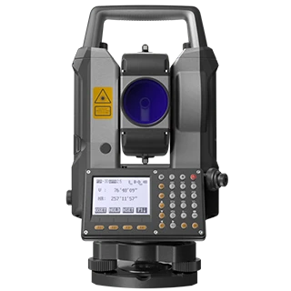
Practical keypad operation
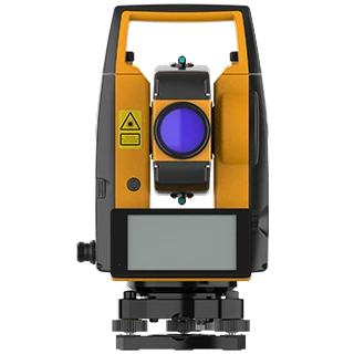
CHCNAV CTS-M100
A direct, familiar workflow for topographic surveys, land subdivision and construction setting-out. Backlit dual-face keyboards, a laser plummet and onboard field software help keep daily work moving.
- Angular accuracy
- 2″
- Maximum range
- 1,500 m reflectorless / 5,000 m prism
- Display
- 3.1″ LCD
- Storage
- 140,000 points internally; USB up to 128 GB
- Protection
- IP54
- Battery
- Up to 8 hours