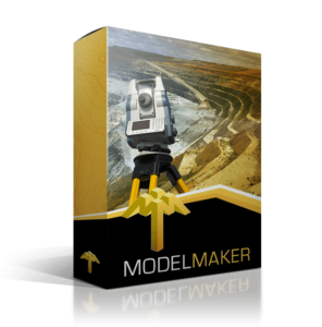
Terrain modelling & design
Model Maker
Build digital terrain models and connect survey data to engineering design and construction workflows.


Technical Surveying, Land Surveying, Engineering, Mining, Townplanning, Landscaping, Quantity Surveying, Irrigation
Design, and Construction.
Engineering & survey software
Find practical software for terrain modelling, land surveying, roads, pipes and irrigation, with local advice, training and support from MMS Design.
MMS Design is an authorised reseller for the Cape regions of South Africa for Model Maker Systems products. Model Maker Systems develops and owns Model Maker, Survey Maker, Road Maker, Pipe Maker and Irri Maker. We provide local product advice, quotations, training and support.
Choose by the work you do
Terrain modelling & design
Build digital terrain models and connect survey data to engineering design and construction workflows.
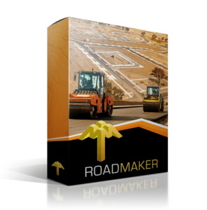
Road design & construction
Work through road design and construction tasks, from rural routes to major road projects.
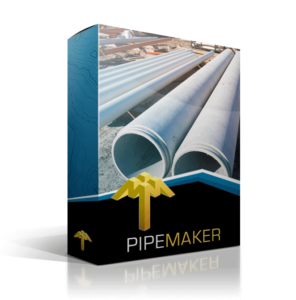
Water, sewer & stormwater
Plan and design pipe networks for water, sewer and stormwater infrastructure projects.
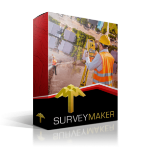
Cadastral & technical surveying
Handle survey calculations and technical surveying tasks with tools built for land survey work.
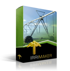
Irrigation system design
Bring terrain, CAD planning, hydraulic calculations and equipment reporting into your irrigation design workflow.
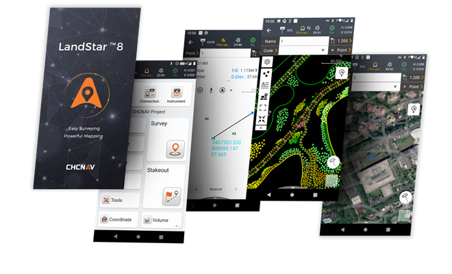
Field surveying & mapping
Capture and manage survey data in the field with CHCNAV’s Android surveying software.
Featured · Model Maker Module 22
Explore MM22 GNSS guidance for points, strings and surfaces, and discuss how it fits your earthmoving or agricultural machine-guidance workflow.
From selection to daily use
Tell us about your project, current workflow and required outputs. We’ll help you identify the software to explore.
Discuss your requirements →Explore scheduled software courses and tailored training options for your team.
Explore training →Access the support resources and assistance available for your software and equipment.
Go to support →Start with the task: Model Maker for terrain modelling, Survey Maker for cadastral and technical survey calculations, Road Maker for roads, Pipe Maker for pipe networks, Irri Maker for irrigation, and LandStar for field surveying. The product pages provide more detail.
Yes. Explore scheduled training or other training options to find an appropriate format.
Use the named quote link on the product card. Include the software, number of users and your intended work so we can respond to your requirements.
Talk through your next project with the MMS Design team.
Model Maker is a powerful, intuitive and integrated digital terrain modeling program, and the most advanced in the Model Maker Systems’ software suite. That’s why Model Maker is the choice of thousands worldwide.
New or old, long or short, major, rural or even township; Road Maker and its advanced functions give you all the powerful tools needed for the design and construction of roads, no matter the challenge.
With Pipe Maker, you’ve got everything you’ll ever need for the design and construction of sewer, stormwater and water pipe projects.
Survey Maker’s powerful tools focus on cadastral and technical survey calculations in all fields of land survey.
Irri Maker is the one-stop solution for irrigation system designers. From terrain survey, CAD work and planning to hydraulic calculations and equipment reports… it’s got you covered.
Designed for high precision surveying and mapping tasks for your everyday work. Seamless work mode management, easy-to-use and easy-to-learn graphical user interface with simple operation.
Up to 2,100 m range
Up to 2,000 kHz pulse rate
Up to 16 returns
1.85 kg integrated system
Capture LiDAR and high-quality imagery across wide corridors and large-area projects with dual 26 MP APS-C cameras and a 110° horizontal field of view.
© 2026 MMS Design | All Rights Reserved