
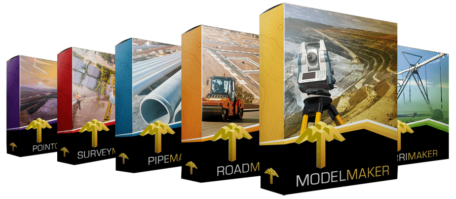
Software training
MMS Design provide professional software training courses in Cape Town, and the rest of the world.

Software training
MMS Design provide professional scheduled software training courses in Cape Town, the Eastern Cape, and Southern Cape.
Our training courses:
We also offer on-site training as well, please visit our contact us page for enquiries.
Please note, prices shown below include 15% VAT for our South African Customers.

Model Maker Introduction (1 Day)
R2700
Get started with the basics of Model Maker. This is a course for complete beginners. No CAD or surveying knowledge is needed.
Survey basics & coordinate systems
Model Maker desktop layout & toolbars
Loading coordinates & field observations
Working with points & snap modes
Triangle manipulation & contour theory
Basic CAD functions (lines, text, layers)
File management (load, save, backups)
Printing & exporting drawings (DWG, DXF, DGN)
Importing/Exporting Google Earth data
Ideal for new beginners
Or go digital!
Subscribe to our digital version of the course.
Watch the same content as above but train at your own pace
Great for new users that want to lay a foundation for the group session
Model Maker Intermediate / Advanced (2 Days)
R5400
Take your skills further with advanced modelling and analysis. Requires 3 month experience in Model Maker or have completed MMS Beginner Course
Google Earth integration (KML import/export)
Survey point data manipulation
Managing survey projects (compare, copy, combine)
Advanced triangulation techniques
Basic survey calculations (joins, polars, datum conversions, transformations)
Productivity-enhancing CAD tools (doid/manid, cad blocks/ titleblocks, patterns, line styles)
Platform design (step by step)
Bulk earthworks: cut & fill, volumes, balancing
Analysis functions (slope, valley, height)
Strings design & utilities
Plotting, exports, and customisation
Survey Maker Course (1 Day)
R2700
This introductory course provides a basic overview of Survey Maker’s main functions. It’s designed for new users who want to become familiar with the software interface and core tools. The following topics will be covered at an introductory level, without in-depth training:
Screen layout and results views
User settings (security, codes, defaults, and MMS sync)
Data management (importing, creating, converting, and reducing data)
Dataset tools and network adjustment
CAD tools for checks and basic calculations
Overview of working with erven files and cadastral plan creation
Survey Maker Course
(2 Days)
R5400
Survey data management and cadastral workflows made simple.
Screen layout & results views
User settings (security, codes, defaults, sync with MMS)
Data management (import, create, convert, reduce)
Dataset tools & network adjustment
CAD tools: road parallel checks, splay & area calculations
2019 Survey Maker manual version
Working with Erven files (figures, trigs, point naming)
Error checking & area lists
Creating cadastral plans: datablocks, keywords, diagrams, general plans, sheets, and insets
Road Maker Course
(1 Day)
R2700
This beginner course provides an introductory overview of Road Maker for new users. It offers a practical understanding of the software’s basic features and how it integrates with Model Maker. The following topics will be introduced, but not covered in depth:
Road Maker desktop setup and security options
Creating basic horizontal alignments (with Model Maker integration)
Introduction to road design data: vertical alignment, widenings, and layers
Overview of special design features (verges, topsoil, kerbs, and drains)
Basic understanding of earthwork calculations and setting-out data
Plotting setup, pen settings, and title block overview
Brief look at road networks and rehabilitation features
Road Maker Advanced Course
(2 Days)
R5400
Master road design with Road Maker.
Requires Model Maker Introduction Course (link to online Model Maker digital course)
Road Maker desktop & security options
Horizontal alignment creation (Model Maker integration)
Road design data: vertical alignment, widenings, layers
Special design features: verges, topsoil, kerbs & drains
Earthwork calculations (cut & fill balancing, setting-out data)
Plotting, pen settings & title block setup
Road networks & turning circles (advanced)
Rehabilitation of existing roads (traffic circles, culverts, cross-fall)
Irrigation Design Course (3 Days)
R8100
Design efficient irrigation systems with Irrimaker.
Day 1 – Planning & Preparation
Irrigation design principles
Creating contour maps (survey data, Google Earth)
CAD irrigation block layouts
Irrigation planning & scheduling
Day 2 – In-field Design
System components & parts database
Irrigation block design (drip/micro/sprinkler)
Centre pivot and movable system design
Day 3 – Water Supply & Documentation
Hydraulic principles of mainline design
Irrimaker mainline design workflows
Refining drawings & plans
Parts lists and quantity schedules
½ Day Online Sessions
TBA
Flexible, online training tailored to your needs.
Remote session via screen share
Content adapted to attendee requests (introductory or advanced)
Focused, topic-specific learning with live Q&A
Ideal for refreshers or new beginners
Skill up Friday
TBA
Every second Friday, we host a free 2-hour Skill-Up session to grow our industry and help our clients level up their skill. These sessions are not about making money
CHCNAV GPS & GNSS systems (hands-on tips & workflows)
LandStar software for smarter surveying
Model Maker & Road Maker productivity tricks
Practical examples from real projects the attendees are faced with every day.
Groups are small and focused, only 6 attendees per session.
Contact Details
086 111 2783
021 975 7043
Quick Links
Home
Shop Online
Get a Quote
Software
Equipment
Training
Privacy Policy
Contact Us
Social Media
© 2025 MMS Design | All Rights Reserved | Web SEO by: DNASuperSystems