

☰
☰
CHCNAV RS10
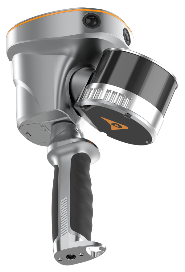
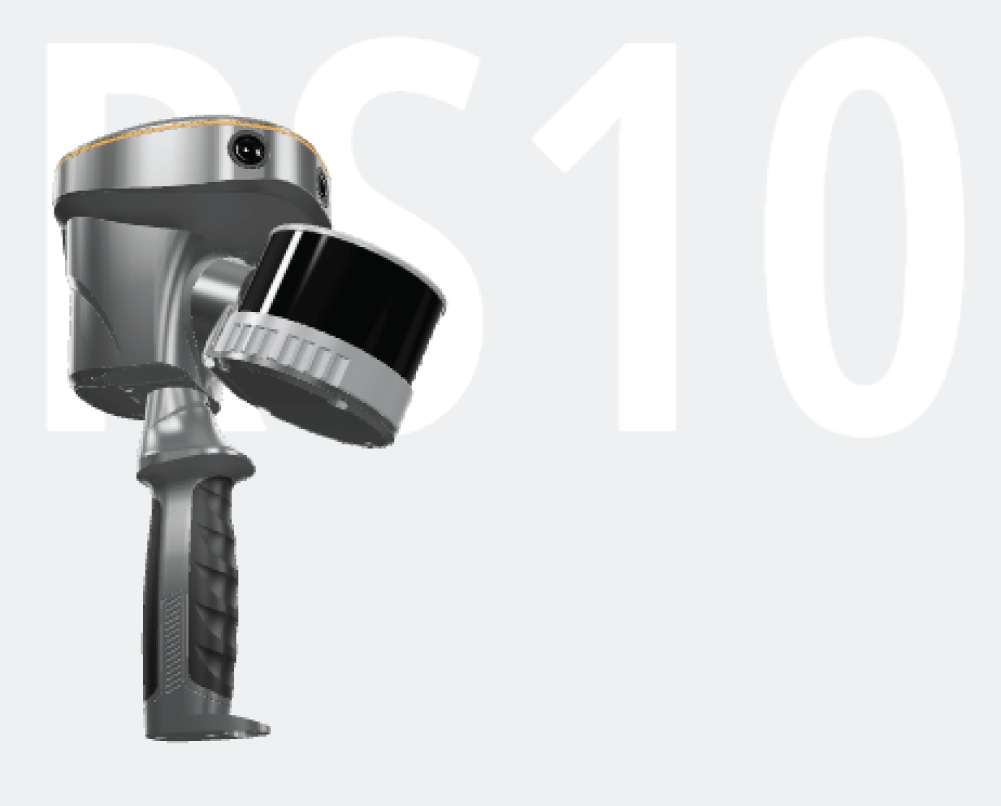
The leading masterpiece CHCNAV RS10 represents the world’s first versatile platform integrating classical GNSS RTK, laser scanner and visual SLAM technologies to perform all surveying tasks with one instrument. RS10 looks like standard handheld SLAM device, but it’s more than just it. This innovative design cleverly addresses the challenge of RTK's inability to measure in areas with weak
or fully lost GNSS signals, while giving the RS10 the ability to efficiently survey in areas that are difficult to reach manually, making field job simpler and more reliable.
The AlphaAir 450 (AA450) is a major breakthrough in 3D mobile mapping technology, allowing its use by non-professional users in, geospatial reality capture applications and those who have never been able to access such technology before. The AlphaAir 450 offers ease of use and high precision capabilities at an affordable price.
AlphaAir 450 is the next generation of the CHCNAV LiDAR systems, which are widely used for power line inspection, topographic mapping, emergency response, agricultural and forestry surveys, and more.
This all-in-one, lightweight and rugged system integrates a high-performance laser scanner with an industrial-grade professional 24 MP camera and a high-precision inertial navigation system for quality data collection.
FEATURES
FEATURES
Industrial-grade GNSS and high-precision IMU onboard
Long-range scanning combined with high-resolution imaging
16-line (120 m) or 32-line (300 m) laser scanner
SFix holds 5 cm accuracy for 1 minute without GNSS
1.7 - 1.9 kg including RTK and battery, IP64 rated
Absolute accuracy < 5 cm, relative accuracy < 1 cm
512 GB storage and hot-swappable battery
Industrial-grade GNSS and high-precision IMU onboard
Long-range scanning combined with high-resolution imaging
Quick installation on any UAV
1 kg total weight with LiDAR and camera
Absolute accuracy 10cm Hz and 5cm Vert.
Skyport for DJI Matrice 300
256Gb Data Storage
01 Integrated GNSS RTK and SLAM
Combine GNSS RTK and SLAM for unparalleled flexibility. The RS10 ensures precise data collection in areas with weak or no GNSS signals, enhancing indoor and outdoor surveying accuracy.
02 High-Precision Measurement
Achieve 5 cm absolute measurement accuracy with the 4th generation GNSS antenna and high-precision LiDAR. The RS10 delivers reliable data for detailed architectural surveys and complex infrastructure projects.
03 Real-Time SLAM Mapping
The RS10 creates georeferenced point clouds directly in the field with real-time SLAM capabilities. It provides immediate feedback on collected data, allowing for on-the-fly adjustments to ensure complete coverage.
04 Efficient Loop-Free Workflow
Eliminate the need for traditional loop closure with integrated GNSS and SLAM technologies to simplify field data collection and reduce project completion time and effort.
05 Versatile Application Support
Use the RS10 for a wide range of applications, from BIM and forestry to power line inspection and underground mapping. Its versatility makes it an invaluable tool for professionals in various fields.
06 Comprehensive Software Integration
The RS10 streamlines your workflow with the SmartGo and CoPre software for real-time data visualization and point cloud processing. It supports efficient and accurate data management from collection to modeling.
07 Durable and Lightweight Design
Operate in challenging environments with the IP64-rated, lightweight RS10. The robust design ensures reliability and ease of use in diverse conditions.
08 Hot-Swappable Battery
Maintain continuous operation with the hot-swappable lithium battery. The RS10 offers 60 minutes of runtime per battery, allowing for seamless replacement without powering off the unit.
Laser Scanner
Channels : 16 or 32
Range : 120 or 300 m
Scanning rate : 320,000 or 640,000 pulses/sec
Field of view : 360° x 270°
Returns : Up to 2
Sensors
Camera : 15 MP (3x 5 MP)
Camera field of view : 210° x 170°
IMU update rate : 200 Hz
Data storage : 512 GB
Battery : 1 hour, hot-swappable
Weight : 1.9 kg (16-line) / 1.7 kg (32-line), incl. RTK and battery
Ingress protection : IP64
Positioning
GNSS : Full GNSS
Absolute accuracy : < 5 cm H / < 5 cm V
Relative accuracy : < 1 cm
RTK : H 8 mm + 1 ppm, V 15 mm + 1 ppm
Initialisation : < 10 s, reliability > 99.9%
© 2026 MMS Design | All Rights Reserved
Wide-coverage dual-camera LiDAR for demanding UAV surveys
Up to 2,100 m range
Up to 2,000 kHz pulse rate
Up to 16 returns
1.85 kg integrated system
CHCNAV AlphaAir 6 Dual (AA6D)
Capture LiDAR and high-quality imagery across wide corridors and large-area projects with dual 26 MP APS-C cameras and a 110° horizontal field of view.