01 / CAPTURE
Keep moving through the space
Handheld scanning fits a walk-through approach to documenting interiors. Plan a route that covers the rooms, connections and details your project needs.


Turn existing buildings into useful 3D data with the CHCNAV RS7 handheld laser scanner.
A practical capture tool for surveyors, architects and teams planning what comes next.
Discuss your project and package with MMS Design, South Africa.
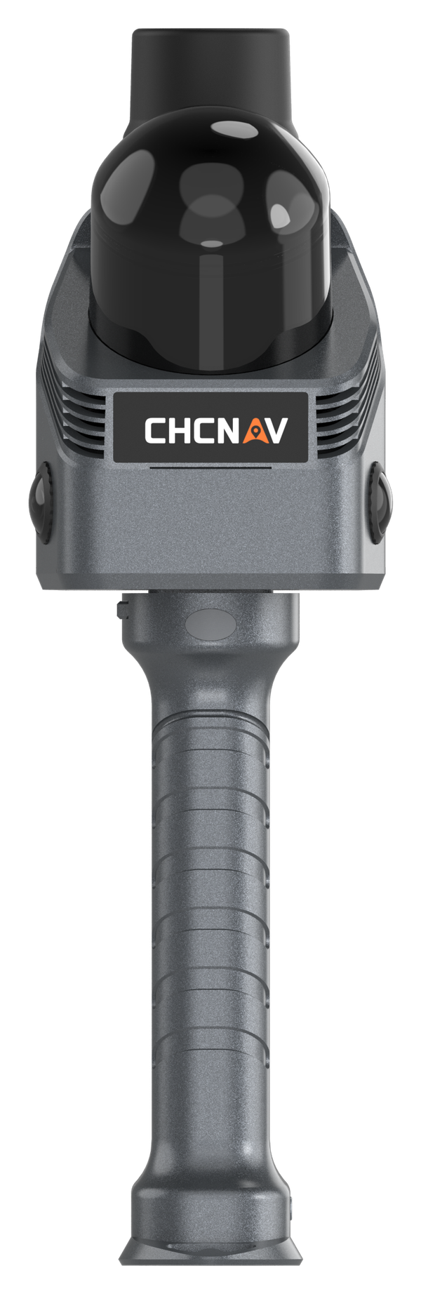
Reality capture. In your hand.
Give your team a spatial record to work from. Explore the geometry, revisit the captured scene and plan the next step with more context than photographs alone.
Handheld scanning fits a walk-through approach to documenting interiors. Plan a route that covers the rooms, connections and details your project needs.
Use a 3D record to help colleagues understand existing conditions and identify the areas that need closer attention.
Discuss a renovation, survey brief or documentation requirement around a shared view of the space.
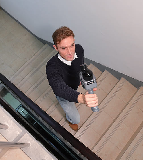
INS and SLAM work together to support tracking through corridors, stairs and repetitive spaces. The high-precision IMU helps where distinctive geometric features are limited.
Indoor mappingINS + SLAMThe wide LiDAR view helps capture ceilings and confined areas. Colour imagery adds visual context when reviewing the scan.
Choose the processing workflow that suits your deliverable: a point cloud for spatial work, a mesh, or a 3D Gaussian Splatting visualisation.
Output availability depends on the selected software and configuration.
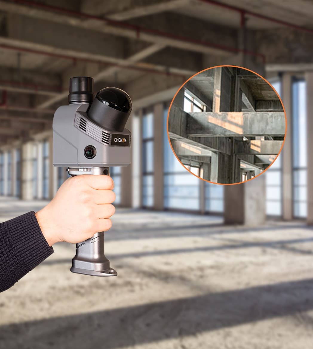
Bring your project brief to a demonstration and assess the result against your required detail, coverage and deliverables.
Create a spatial reference for measured building surveys and downstream drawing or modelling work.
Review room layouts, circulation and existing geometry as part of your planning process.
Build a digital record of spaces and architectural features for documentation and visual review.
Capture the surrounding environment to help your team discuss access, layout and documentation needs.
Use SmartGo Neo to control capture and view the point cloud in the field. Check coverage before leaving the site.
Discuss CoPre and CoCloud processing options, including the licences and connectivity your workflow requires.
Review the outputs in your intended design or documentation process. Confirm file formats and compatibility before choosing a package.
Compare these core specifications with your site conditions and project requirements.
View official datasheet ↗Manufacturer specifications. Performance and battery endurance depend on operating conditions. Confirm current configuration, software and licence inclusions with MMS Design.
| Laser channels | 64 |
|---|---|
| Range | 40 m at 10% reflectivity |
| Maximum measurement rate | 576,000 pts/s single return 1,152,000 pts/s dual return |
| Field of view | 360° × 189° |
| Weight | 1.2 kg with battery handle |
| Battery working time | Up to 150 minutes |
| Storage | 512 GB |
| Ingress protection | IP64 |
| Operating temperature | −20 °C to +50 °C |
Have a specific site or output in mind? Tell us what you need to deliver.
Talk to MMS Design →Yes. SLAM supports indoor capture without relying on GNSS. Route planning, scene geometry and capture technique still matter.
Compatible processing software supports point clouds, mesh models and 3D Gaussian Splatting outputs. Tell us which file formats and downstream applications you need so we can confirm the workflow.
Package inclusions vary. Ask for a quote that clearly lists the scanner, accessories, software licences and any training or support services you require.
Request a configuration-based quotation from MMS Design. Share your application and required outputs so the proposed package addresses your actual needs.
Request an RS7 demonstration and discuss a representative site or project. Agree on the capture and deliverables you would like to evaluate.
Tell us what you survey, the outputs you need and the software you use. We’ll help you discuss the right RS7 configuration and demonstration.
Useful details to include: project type, typical site size, required deliverables and training needs.
Prefer to talk? +27 21 975 7043
© 2026 MMS Design | All Rights Reserved
Up to 2,100 m range
Up to 2,000 kHz pulse rate
Up to 16 returns
1.85 kg integrated system
Capture LiDAR and high-quality imagery across wide corridors and large-area projects with dual 26 MP APS-C cameras and a 110° horizontal field of view.