Terrain & vegetation
Read the landscape
Multiple returns help distinguish vegetation and ground surfaces. Useful for terrain modelling, forestry and changing landforms.


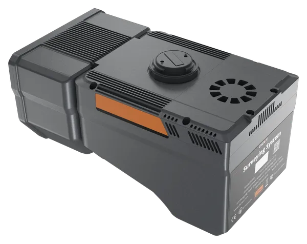
CHCNAV · Dual-camera airborne LiDAR
Capture LiDAR and a wider photographic swath with two integrated cameras. A focused option for aerial surveys where image coverage matters.
From the flight to the finished surface
Combine laser measurements, positioning and imagery in one aerial workflow. Plan the payload, flight and processing around the terrain and the deliverables you need.
Terrain & vegetation
Multiple returns help distinguish vegetation and ground surfaces. Useful for terrain modelling, forestry and changing landforms.
Wider image coverage
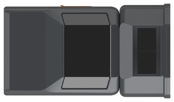
Dual 26 MP cameras provide a 110° photographic field of view to support broader image coverage across a survey strip.
Field to office
Process trajectories and point clouds in CoPre, then prepare terrain, CAD and earthwork outputs with the relevant CoProcess tools.
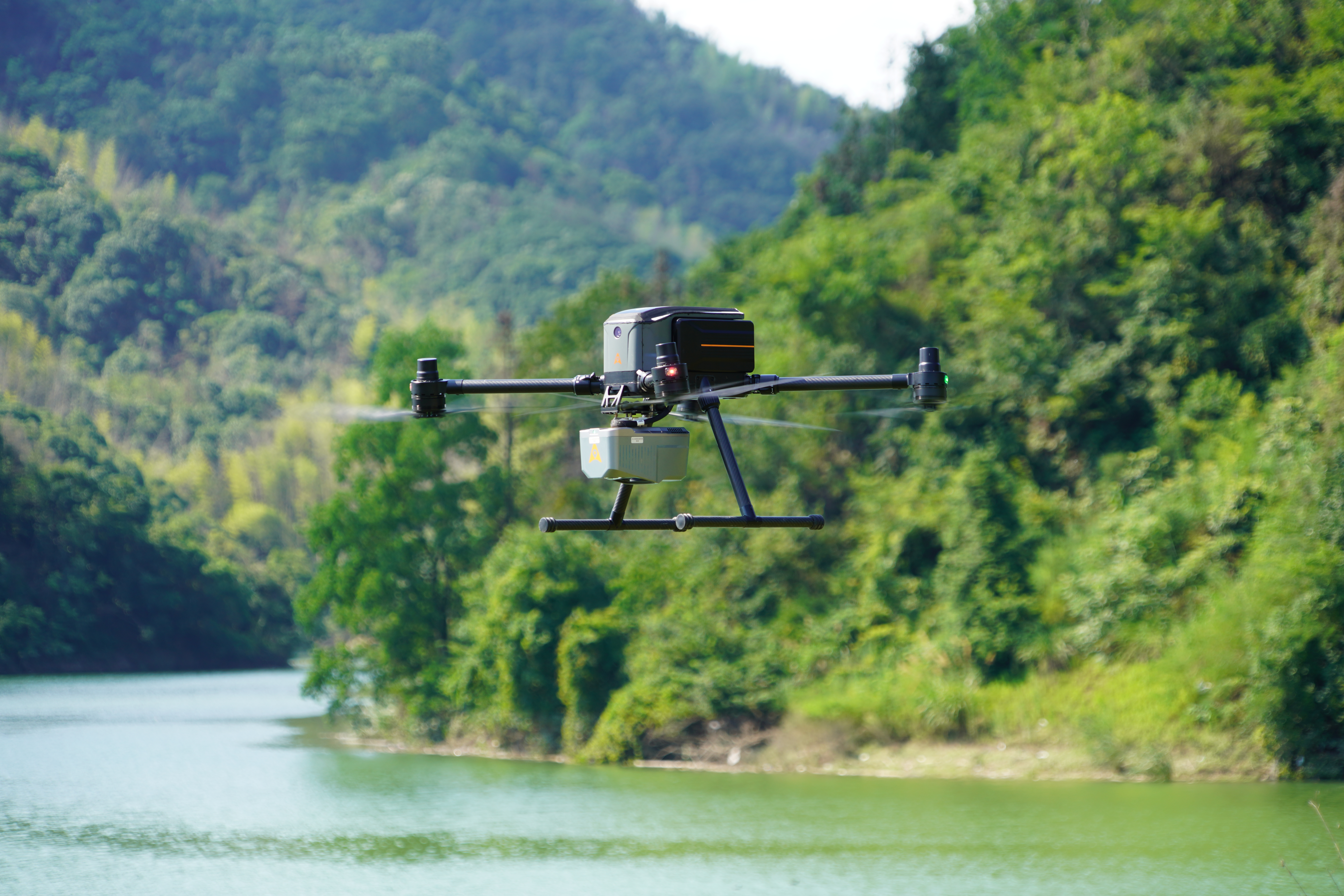
The aircraft is part of the system
Bring the aircraft, LiDAR, mission planning and processing choices together. MMS Design can help match the configuration to your survey area, terrain and required outputs.
Explore the X500 drone →Aircraft, accessories and software depend on the selected package. Flight endurance varies with payload and operating conditions.
Technical overview
| Laser field of view | 90° |
|---|---|
| Maximum scan rate | Up to 2,000,000 points/second |
| Maximum ranging distance | Up to 2,100 m at 100 kHz and target reflectivity above 80% |
| Returns | Up to 16, depending on conditions and CoPre processing |
| Data storage | 512 GB |
| Operating temperature | −20°C to +50°C |
Maximum range is a target measurement distance, not an operating flight height. Performance depends on pulse rate, target reflectivity and survey conditions. See the manufacturer’s test conditions in the datasheet.
Choose the right camera configuration
Both share the same LiDAR family. Choose AA6 for a lighter single-camera payload, or AA6D when wider photographic coverage is the priority.
| Camera & payload | AA6 | AA6D |
|---|---|---|
| Imaging | Single 4/3-inch camera | Dual APS-C cameras |
| Resolution | 25 MP / 100 MP mode | 26 MP × 2 |
| Camera field of view | 74° | 110° combined |
| Instrument weight | 1.35 kg | 1.85 kg |
| Explore | AA6 details → | AA6D details → |
Tell us about your terrain, aircraft and required deliverables.
Specifications: CHCNAV AlphaAir 6 family datasheet, January 2026. CHCNAV manufactures the equipment; MMS Design supplies and supports the selected solution.
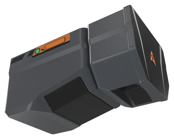
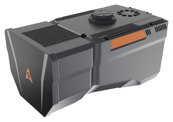
Capture LiDAR and high-quality imagery across wide corridors and large-area projects with dual 26 MP cameras and a 110° horizontal field of view.
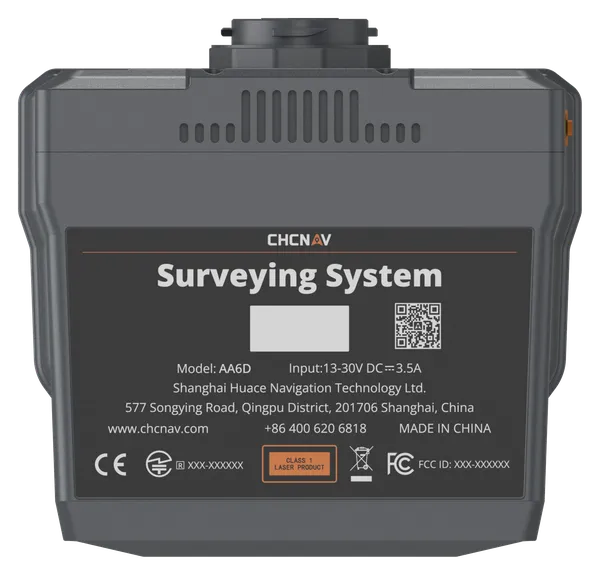
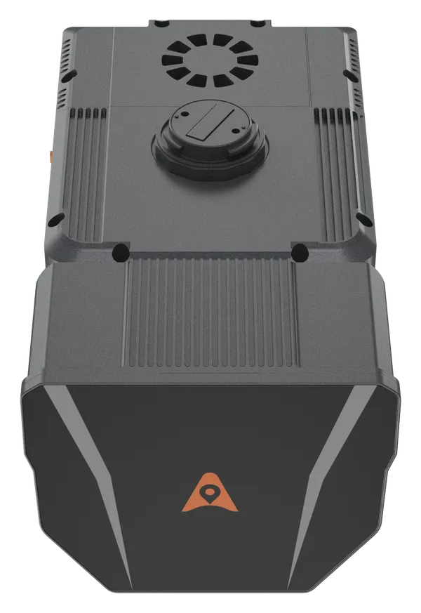
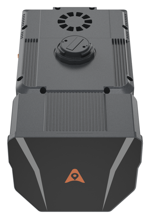
The AlphaAir 6 Dual combines long-range LiDAR with dual 26 MP APS-C cameras to capture dense point clouds and wide image coverage in a single flight. Its 110° horizontal field of view is built for efficient corridor, infrastructure and large-area survey missions.
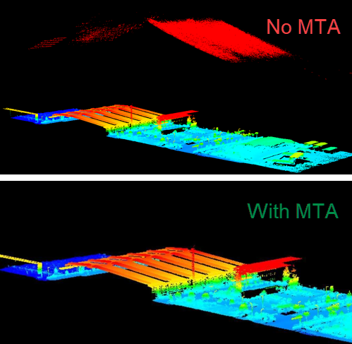
A high-grade IMU, fifth-generation waveform processing and Multiple-Time-Around technology support reliable data capture from typical operating heights of 100 to 600 m. The 1.85 kg system integrates easily with suitable UAV platforms and CHCNAV’s guided field-to-office workflow.
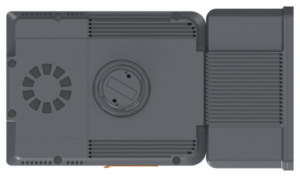
Up to 2,100 m scanning range
Dual 26 MP APS-C cameras
110° horizontal field of view
1.85 kg system
Wide-corridor and utility mapping
Urban redevelopment and infrastructure
Mining, terrain and large-area surveys
Achieve unmatched accuracy with our high-precision LiDAR technology, offering 5 mm repeated range accuracy and 2-5 cm absolute precision. Enhance your mapping projects with reliable, detailed data even in complex environments.
Extend your survey range with up to 800 m measurements and 500,000 points per second scanning. Cover large areas efficiently and with high detail, maximizing survey productivity.
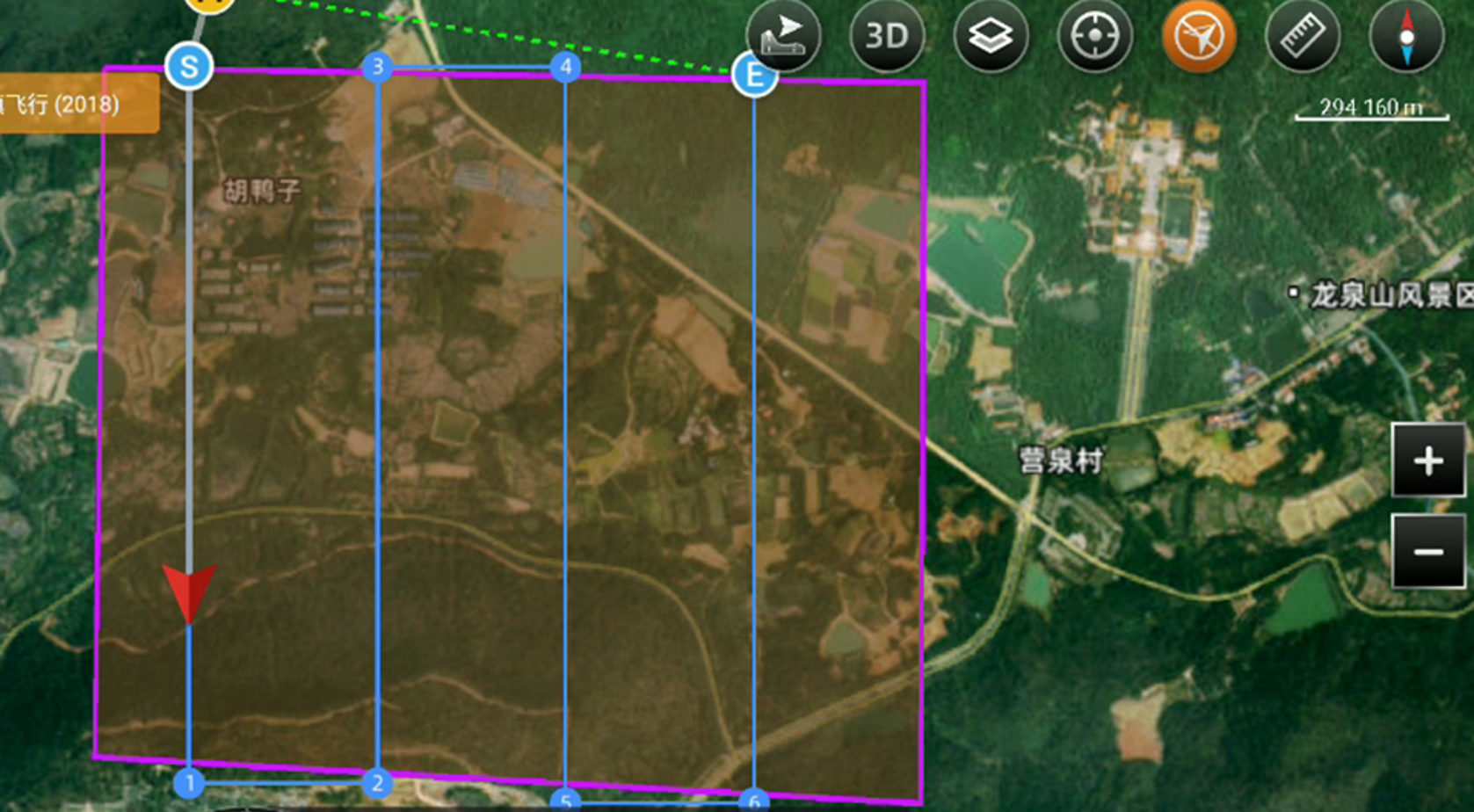
Utilize advanced multi-target capabilities with up to 8 target echoes, enabling effective penetration of dense vegetation. Create accurate DEMs and DSMs in challenging environments with improved ground surface acquisition.
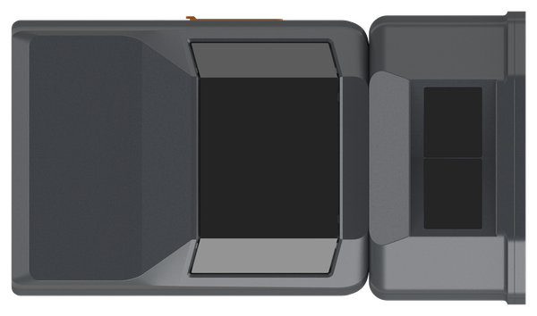
Capture detailed imagery with the integrated 45 MP orthographic camera. Generate high-resolution point clouds and orthomosaic outputs for superior 3D model reconstruction and realistic textures.
Streamline your 3D data acquisition with CoPre and CoProcess software, facilitating post-processing and feature extraction. Achieve high-quality results with an easy-to-use, efficient workflow from data collection to final output.
At 1.85 kg, the AA6D combines long-range LiDAR with dual 26 MP cameras and a 110° horizontal field of view. The wider image footprint improves coverage for corridors, urban mapping and large-area survey missions.
© 2026 MMS Design | All Rights Reserved
Up to 2,100 m range
Up to 2,000 kHz pulse rate
Up to 16 returns
1.85 kg integrated system
Capture LiDAR and high-quality imagery across wide corridors and large-area projects with dual 26 MP APS-C cameras and a 110° horizontal field of view.