
CHCNAV X500
Professional Multirotor Drone
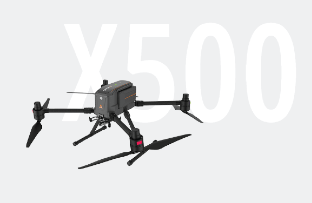
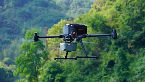
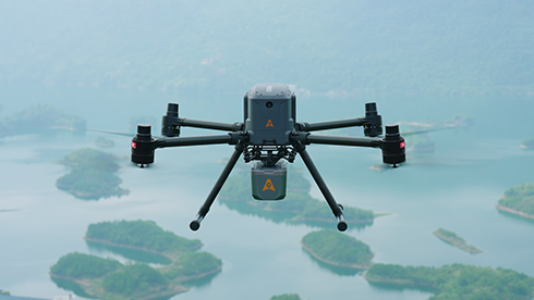
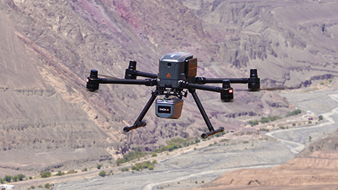
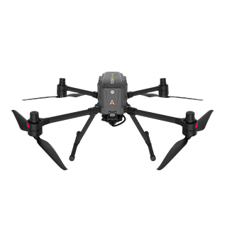
The CHCNAV X500 rotor UAV is a professional drone engineered for exceptional payload capacity and endurance.
Equipped with advanced flight controls and high-precision positioning, it delivers superior maneuverability, stability, and flight performance. Its built-in visual SLAM and obstacle detection radar ensure intelligent, safe operations.
Compatible with CHCNAV sensors and third-party payloads, the X500 is ideal for applications such as surveying, urban surveillance, emergency scouting, disaster relief, and inspection missions.
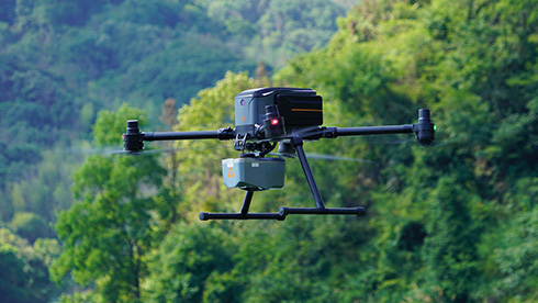
MAIN FEATURES
MAIN FEATURES
Reliable Design
Hot-Swap Batteries
Intelligent Battery Station
Lightweight and Portable
USE CASES
USE CASES
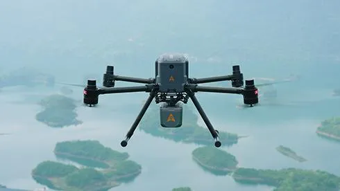
Geospatial Surveying
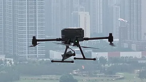
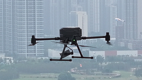
Urban Surveillance
Emergency Scouting
Disaster Relief
BENEFITS AND PERFORMANCES
BENEFITS AND PERFORMANCES
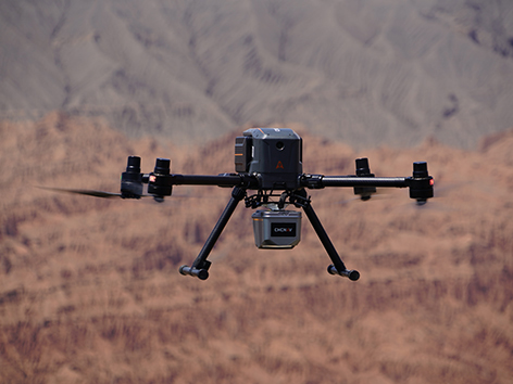
01 High Performance
The X500 supports a 5 kg payload capacity and offers a flight endurance of 58 minutes, or up to 50 minutes when equipped with the CHCNAV AA10 LiDAR. Its IP55 rating and 12 m/s wind resistance enable reliable performance in challenging environments.
02 Optimal Flight Safetyment
The X500 features robust redundancy with dual GNSS, triple IMU backups, dual-redundant flight control, and safe return strategies. Its millimeter-wave radar ensures precise obstacle detection and avoidance, including trees, buildings, and towers. The V-SLAM visual positioning system enables landings on moving vehicles and vessels.
03 Efficient Energy System
Paired with the BS10 charging station, which holds up to six batteries, it allows fast charging from 20% to 90% in just 40 minutes ensuring uninterrupted operation throughout.
04 Versatile Payload Options
The X500 supports up to 3 concurrent payloads and is compatible with CHCNAV LiDARs and cameras. Its open SDK interface facilitates integration with third-party devices, enabling customization for specific mission requirements. Built on the universal Mavlink protocol, it ensures adaptability to multiple applications.
05 Long-Range Operation
The X500 uses CHCNAV’s video transmission system with a range of up to 20 km. Advanced algorithms optimize HD video transmission by minimizing latency and enhancing reliability. Its 1080p HD FPV feed and 10.1" large-screen remote control provide intuitive operating experience.
06 Intelligent Flight Software
CHCNAV SmartGo ground control software supports diverse flight path options, including rectangular, strip, polygonal, and facade routes. It provides real-time updates on the drone's status, heading, and surrounding obstacles, ensuring enhanced safety for beyond-visual-line-of-sight (BVLOS) operations.

Performances
Performances
Payload capacity : 5 kg max.
Flight time : 50 mins with CHCNAV AA10
Sensors
Sensors
Camera : Yes
IMU : Yes
Obstacle avoidance : Yes
vSLAM : Yes
Physical
Physical
Type : Quadcopter
Battery life : Double hot-swap, with charging station
Connectivity
Connectivity
Remote : CHCNAV SmartGo flight control software
TX73 GNSS Guidance
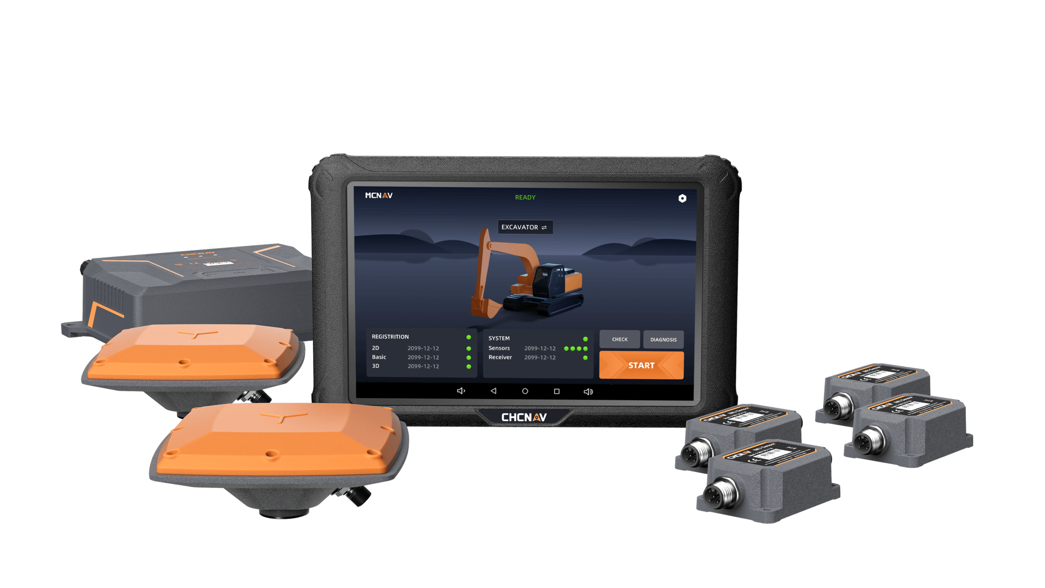
Premium RTK GNSS Excavator Guidance
Social Media
© 2025 MMS Design | All Rights Reserved | Web SEO by: DNASuperSystems
Wide-coverage dual-camera LiDAR for demanding UAV surveys
Up to 2,100 m range
Up to 2,000 kHz pulse rate
Up to 16 returns
1.85 kg integrated system
CHCNAV AlphaAir 6 Dual (AA6D)
Capture LiDAR and high-quality imagery across wide corridors and large-area projects with dual 26 MP APS-C cameras and a 110° horizontal field of view.