

☰
LT60H
GNSS RTK Smartphone
Rugged smartphone for accurate data collection.
☰
LT60H
GNSS RTK Smartphone
Rugged smartphone for accurate data collection.
The Rugged Smartphone with Centimeter Accuracy.
Mapping & Geospatial.
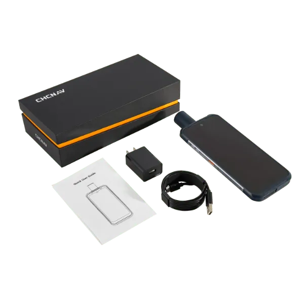

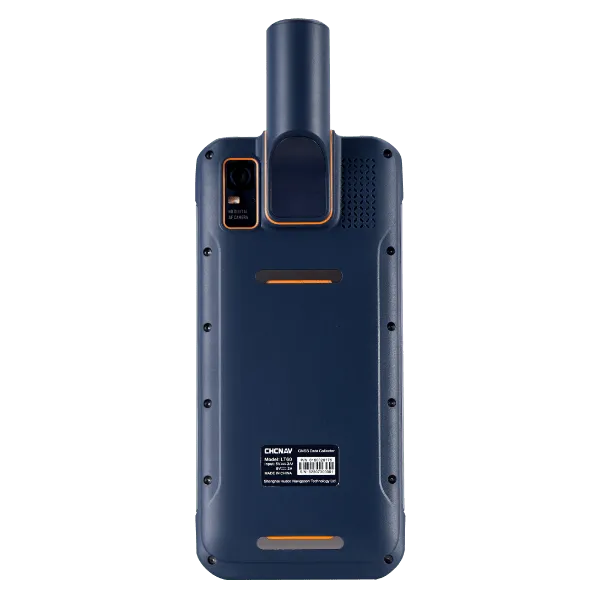
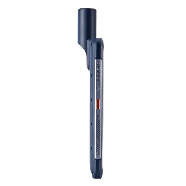
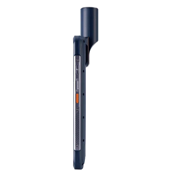
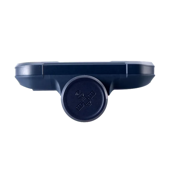
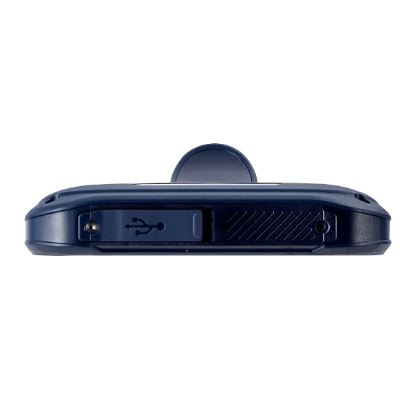
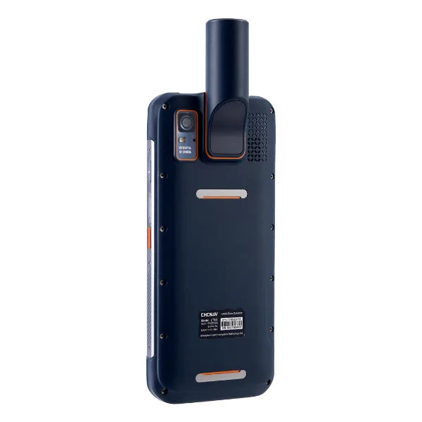
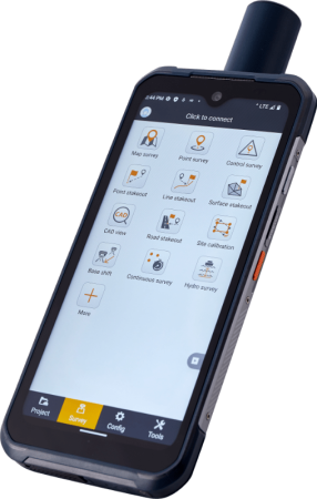
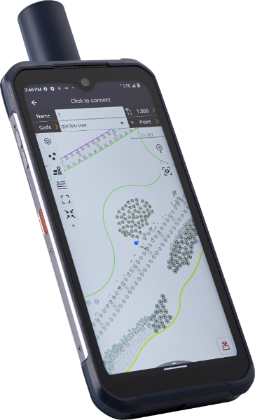
The LT60H rugged smartphone is a reliable and effective tool for a variety of industries and applications that require centimeter or decimeter positioning accuracy. Its portability, durability and versatility make it an excellent choice for precision GIS data collection, urban construction, pipeline inspection and more.
With its 6.3″ sunlight viewable display, the LT60H is an optimal data controller for field professionals who need to position or locate assets and capture associated photos or video. Unlike consumer smartphones, the LT60H has an industrial IP67 design that can withstand daily use in harsh environments and conditions.
Customized low-level system processing allows almost any third-party Android-based mapping application to directly obtain highly accurate location information, significantly reducing software development efforts.
The Rugged Smartphone with Centimeter Accuracy.
Mapping & Geospatial.
The LT60H rugged smartphone is a reliable and effective tool for a variety of industries and applications that require centimeter or decimeter positioning accuracy. Its portability, durability and versatility make it an excellent choice for precision GIS data collection, urban construction, pipeline inspection and more.
With its 6.3″ sunlight viewable display, the LT60H is an optimal data controller for field professionals who need to position or locate assets and capture associated photos or video. Unlike consumer smartphones, the LT60H has an industrial IP67 design that can withstand daily use in harsh environments and conditions.
Customized low-level system processing allows almost any third-party Android-based mapping application to directly obtain highly accurate location information, significantly reducing software development efforts.
BRING ACCURACY
AT YOUR FINGERTIPS
Survey-grade GNSS positioning
The LT60H features a high performance 1408 channel positioning module supporting GPS, GLONASS, Galileo and BeiDou, and a high performance quadrifilar helix GNSS antenna.
This advanced technology delivers industry-leading centimeter- and decimeter-level accuracy, even in challenging environments.
IPS DISPLAY FOR EXTRA COMFORT OF USE
Sunlight-viewable touch screen
The LT60H has a stunning high resolution screen with over 400 PPI for exceptional clarity and detail.
With a Corning Gorilla Glass 3 IPS display, it also offers increased durability in all weather conditions, ensuring your device is protected in even the harshest environments.
Its 5-point capacitive touch screen allows data capture with a stylus, gloves, or even wet hands to accommodate different operating conditions.
BRING ACCURACY
AT YOUR FINGERTIPS
Survey-grade GNSS positioning
The LT60H features a high performance 1408 channel positioning module supporting GPS, GLONASS, Galileo and BeiDou, and a high performance quadrifilar helix GNSS antenna.
This advanced technology delivers industry-leading centimeter- and decimeter-level accuracy, even in challenging environments.
IPS DISPLAY FOR EXTRA COMFORT OF USE
Sunlight-viewable touch screen
The LT60H has a stunning high resolution screen with over 400 PPI for exceptional clarity and detail.
With a Corning Gorilla Glass 3 IPS display, it also offers increased durability in all weather conditions, ensuring your device is protected in even the harshest environments.
Its 5-point capacitive touch screen allows data capture with a stylus, gloves, or even wet hands to accommodate different operating conditions.
PORTABILITY AND PERFORMANCE
Survey-grade GNSS positioning
The LT60H features a high performance 1408 channel positioning module supporting GPS, GLONASS, Galileo and BeiDou, and a high performance quadrifilar helix GNSS antenna.
This advanced technology delivers industry-leading centimeter- and decimeter-level accuracy, even in challenging environments.
IPS DISPLAY FOR EXTRA COMFORT OF USE
Sunlight-viewable touch screen
The LT60H has a stunning high resolution screen with over 400 PPI for exceptional clarity and detail.
With a Corning Gorilla Glass 3 IPS display, it also offers increased durability in all weather conditions, ensuring your device is protected in even the harshest environments. Its 5-point capacitive touch screen allows data capture with a stylus, gloves, or even wet hands to accommodate different operating conditions.
Constant Updates & World-class Support Services
All of our Software and Survey Equipment are covered by world-class support.
We provide unmatched user support and training on everything we sell.
Wide-coverage dual-camera LiDAR for demanding UAV surveys
Up to 2,100 m range
Up to 2,000 kHz pulse rate
Up to 16 returns
1.85 kg integrated system
CHCNAV AlphaAir 6 Dual (AA6D)
Capture LiDAR and high-quality imagery across wide corridors and large-area projects with dual 26 MP APS-C cameras and a 110° horizontal field of view.
© 2026 MMS Design | All Rights Reserved