
South Africa · +27 21 975 7043 · [email protected]

☰
South Africa · +27 21 975 7043 · [email protected]
☰
HydroSurvey Software
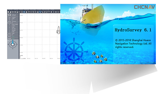
HYDROSURVEY SOFTWARE
Raw data collection, mapping, positioning, displaying real-time track, data processing and coordinates file export.
- Intuitive set up of GNSS RTK and echo sounder parameters
- Real-time display of echo sounder data and RTK position
- Self-checking of echosounder data to enhance survey quality
SPECIFICATIONS
Contact MMS Design for HydroSurvey documentation and advice on your GNSS and echo-sounder setup.
Wide-coverage dual-camera LiDAR for demanding UAV surveys
Up to 2,100 m range
Up to 2,000 kHz pulse rate
Up to 16 returns
1.85 kg integrated system
CHCNAV AlphaAir 6 Dual (AA6D)
Capture LiDAR and high-quality imagery across wide corridors and large-area projects with dual 26 MP APS-C cameras and a 110° horizontal field of view.
© 2026 MMS Design | All Rights Reserved