
CHCNAV AlphaAir 10
Professional Airborne LiDAR+RGB System
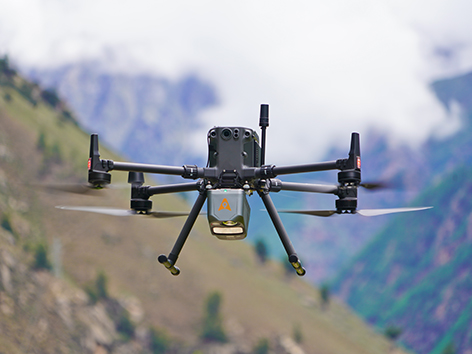
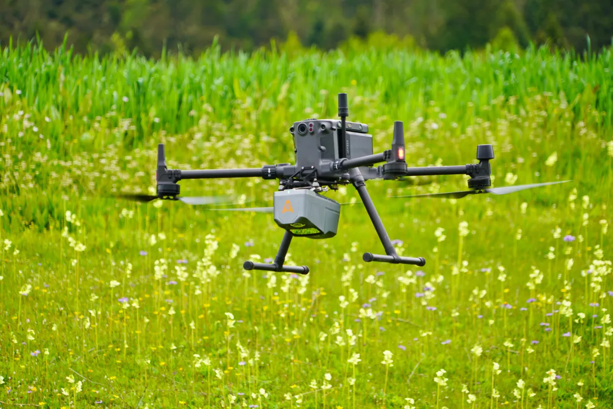
The AlphaAir 10 is a professional airborne LiDAR+RGB system designed to meet the demanding requirements of UAV LiDAR mapping and drone photogrammetry.
This advanced solution integrates superior LiDAR technology with accurate GNSS positioning, IMU orientation, and a professional full frame orthophoto camera. Together with CHCNAV's point cloud and image fusion modeling software, the AA10 delivers survey-grade accuracy, efficiency, and cost-effectiveness in 3D data acquisition and processing.
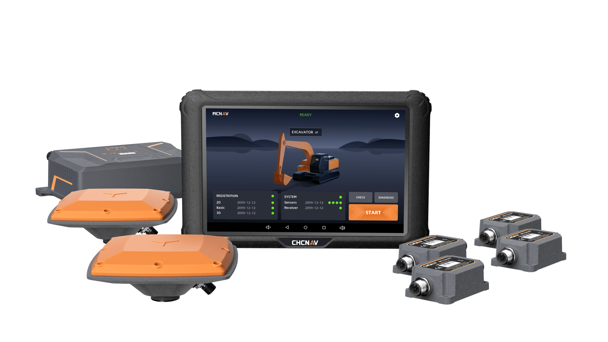
The EasyNAV EMG100 3D Excavator System is a precise and user-friendly solution designed for efficient excavation. Its integrated components and advanced excavator algorithms enable quick installation and calibration, delivering centimeter-level accuracy suited for small construction projects.
The EasyNAV EMG100’s in-field design capabilities reduce reliance on surveyors, allowing operators to perform tasks independently with accuracy and efficiency. By streamlining operations and lowering labor costs, the EasyNAV EMG100 supports high-quality excavation while enhancing productivity.
MAIN FEATURES
MAIN FEATURES
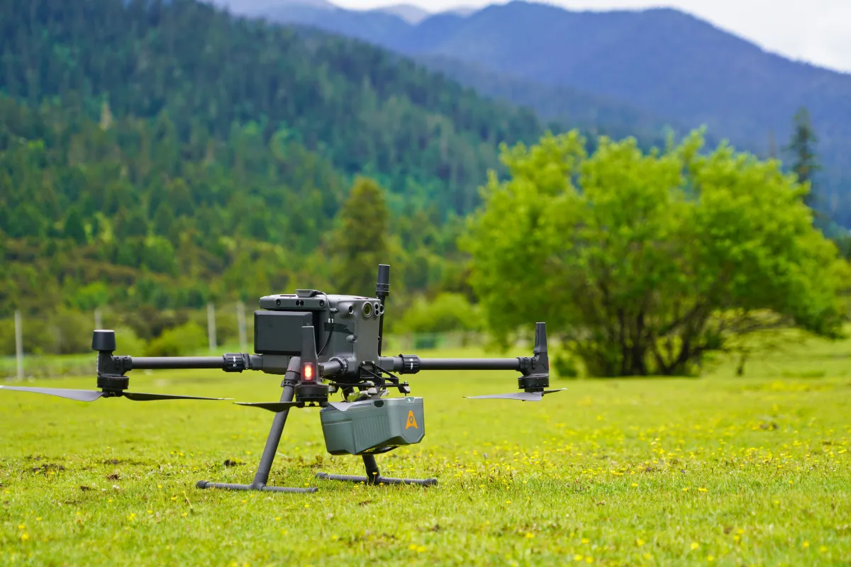
High-Precision LiDAR
45 MP Camera
Lightweight
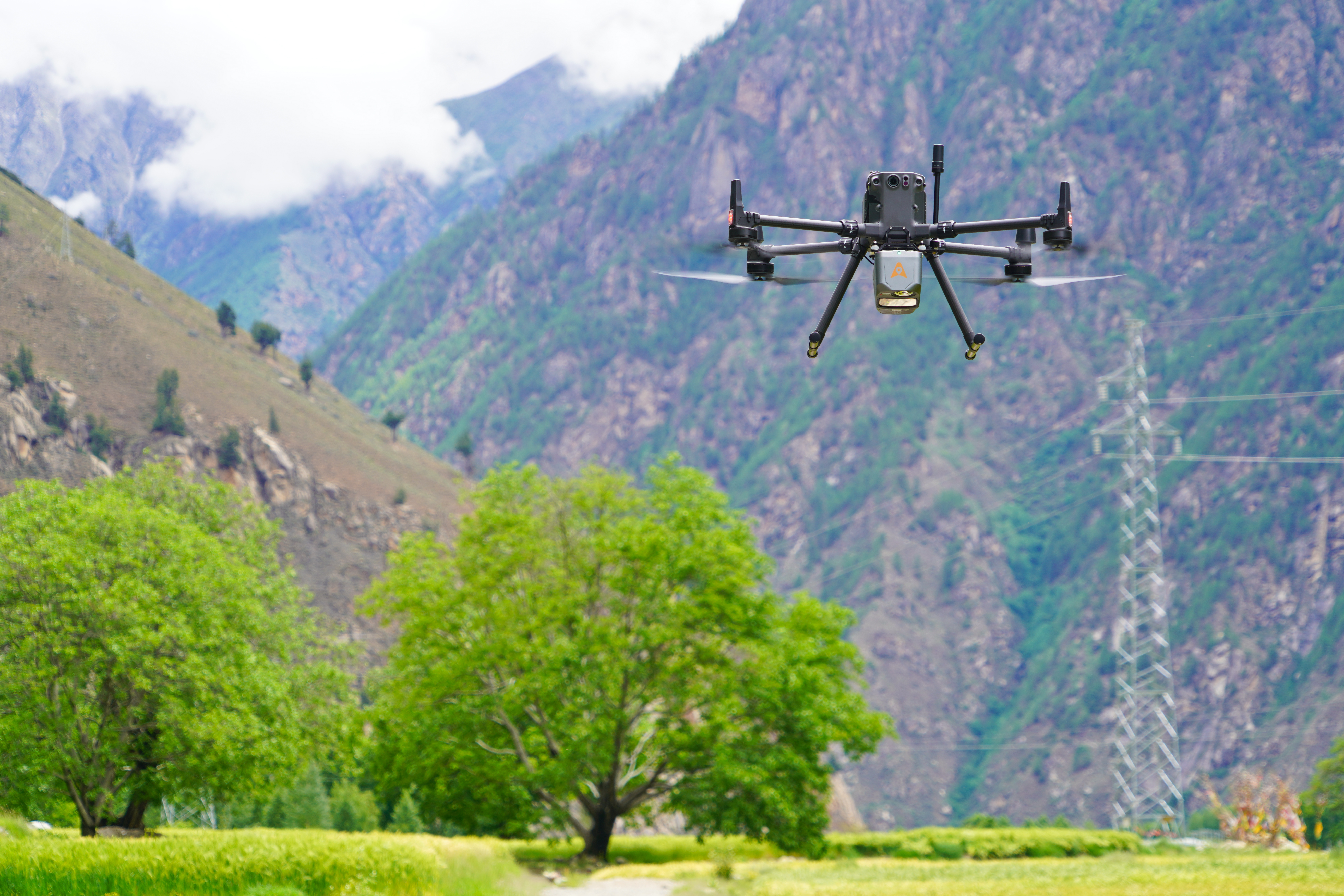
USE CASES
USE CASES
Digital Elevation Model Generation
Forest Canopy Mapping
Mining Site Surveys
BENEFITS AND PERFORMANCES
BENEFITS AND PERFORMANCES
01 High-Precision LiDAR Integration
Achieve unmatched accuracy with our high-precision LiDAR technology, offering 5 mm repeated range accuracy and 2-5 cm absolute precision. Enhance your mapping projects with reliable, detailed data even in complex environments.
02 Long-Range Scanning Capability
Extend your survey range with up to 800 m measurements and 500,000 points per second scanning. Cover large areas efficiently and with high detail, maximizing survey productivity.
03 Enhanced Vegetation Penetration
Utilize advanced multi-target capabilities with up to 8 target echoes, enabling effective penetration of dense vegetation. Create accurate DEMs and DSMs in challenging environments with improved ground surface acquisition.
04 High-Resolution Imaging
Capture detailed imagery with the integrated 45 MP orthographic camera. Generate high-resolution point clouds and orthomosaic outputs for superior 3D model reconstruction and realistic textures.
05 Efficient Workflow Integrati
Streamline your 3D data acquisition with CoPre and CoProcess software, facilitating post-processing and feature extraction. Achieve high-quality results with an easy-to-use, efficient workflow from data collection to final output.
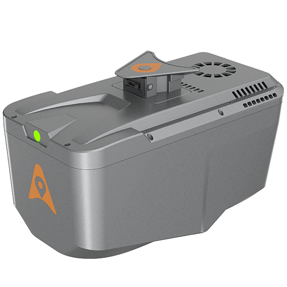
06 Lightweight and Versatile Design
Benefit from a compact, lightweight system (1.55 kg) that is easy to mount on various UAVs. Enjoy simplified installation with Alphaport’s one-click connection, enhancing operational flexibility.
TX73 GNSS Guidance
Premium RTK GNSS Excavator Guidance
Social Media
© 2025 MMS Design | All Rights Reserved | Web SEO by: DNASuperSystems
Wide-coverage dual-camera LiDAR for demanding UAV surveys
Up to 2,100 m range
Up to 2,000 kHz pulse rate
Up to 16 returns
1.85 kg integrated system
CHCNAV AlphaAir 6 Dual (AA6D)
Capture LiDAR and high-quality imagery across wide corridors and large-area projects with dual 26 MP APS-C cameras and a 110° horizontal field of view.