
NX510 Autosteering System
STATE-OF-THE-ART BB4 Professional UAV Reality Capture Platform
2 min for flight preparation
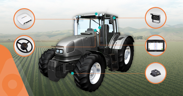
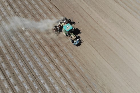
The NX510 is a high accuracy automated steering system, specially designed for tillage, seeding, fertilization, pesticide, and harvesting applications. With its state-of-the-art steering controller and full GNSS RTK capability, the NX510 is quickly and easily mounted to various types of tractors and achieves ± 2.5 cm pass-to-pass accuracy.
2.5 cm Pass-to-pass Accuracy
Using network or satellite-based RTK corrections, the NX510 GNSS+INS terrain compensation technology ensures ±2.5 cm accuracy on any terrain.
The advanced controller ensures RTK accuracy in seconds, provides smooth auto-steering and long-term repeatability while harrowing and fertilizing.
Intuitive AgNav software
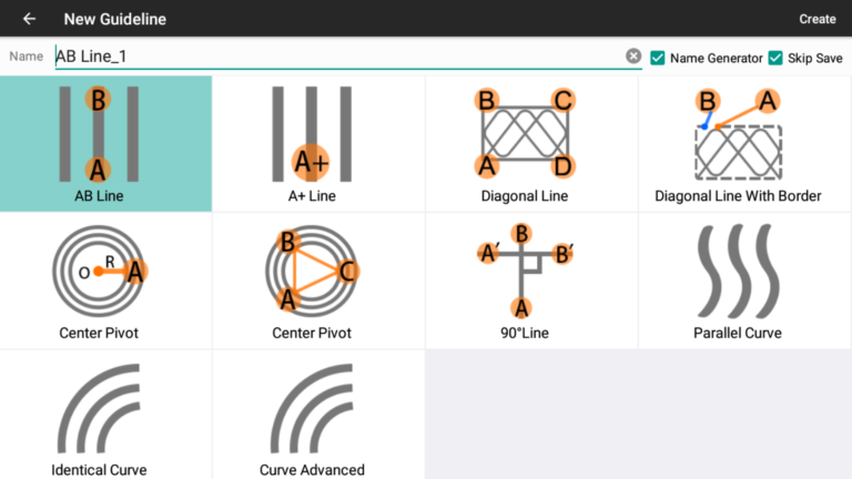
AgNav supports multiple guidance patterns to fit different field layouts, including straight AB line, A+ line, circle line, irregular curve, and headland turn.
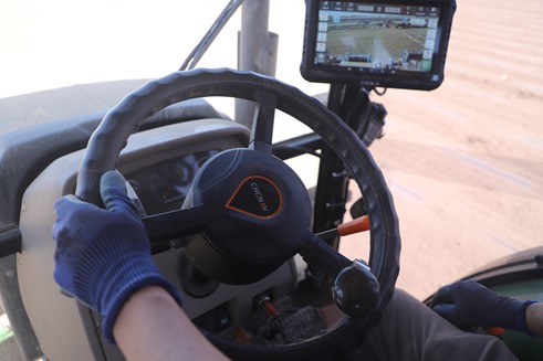
AgNav’s intuitive user interface enhances the user experience in all aspects way to perform field operations with high speed and accuracy.
Intuitive AgNav software
AgNav supports multiple guidance patterns to fit different field layouts, including straight AB line, A+ line, circle line, irregular curve, and headland turn.
AgNav’s intuitive user interface enhances the user experience in all aspects way to perform field operations with high speed and accuracy.
Quick and Easy to Install
The NX510 can be fully installed in less than 40 minutes on most farm vehicles, significantly eliminating costly downtime. Featuring high connectivity and ISOBUS compatibility with all major equipment brands, it meets the most demanding agricultural applications and improves field operations.
NX510 Specifications:
Wide-coverage dual-camera LiDAR for demanding UAV surveys
Up to 2,100 m range
Up to 2,000 kHz pulse rate
Up to 16 returns
1.85 kg integrated system
CHCNAV AlphaAir 6 Dual (AA6D)
Capture LiDAR and high-quality imagery across wide corridors and large-area projects with dual 26 MP APS-C cameras and a 110° horizontal field of view.
TX73 GNSS Guidance
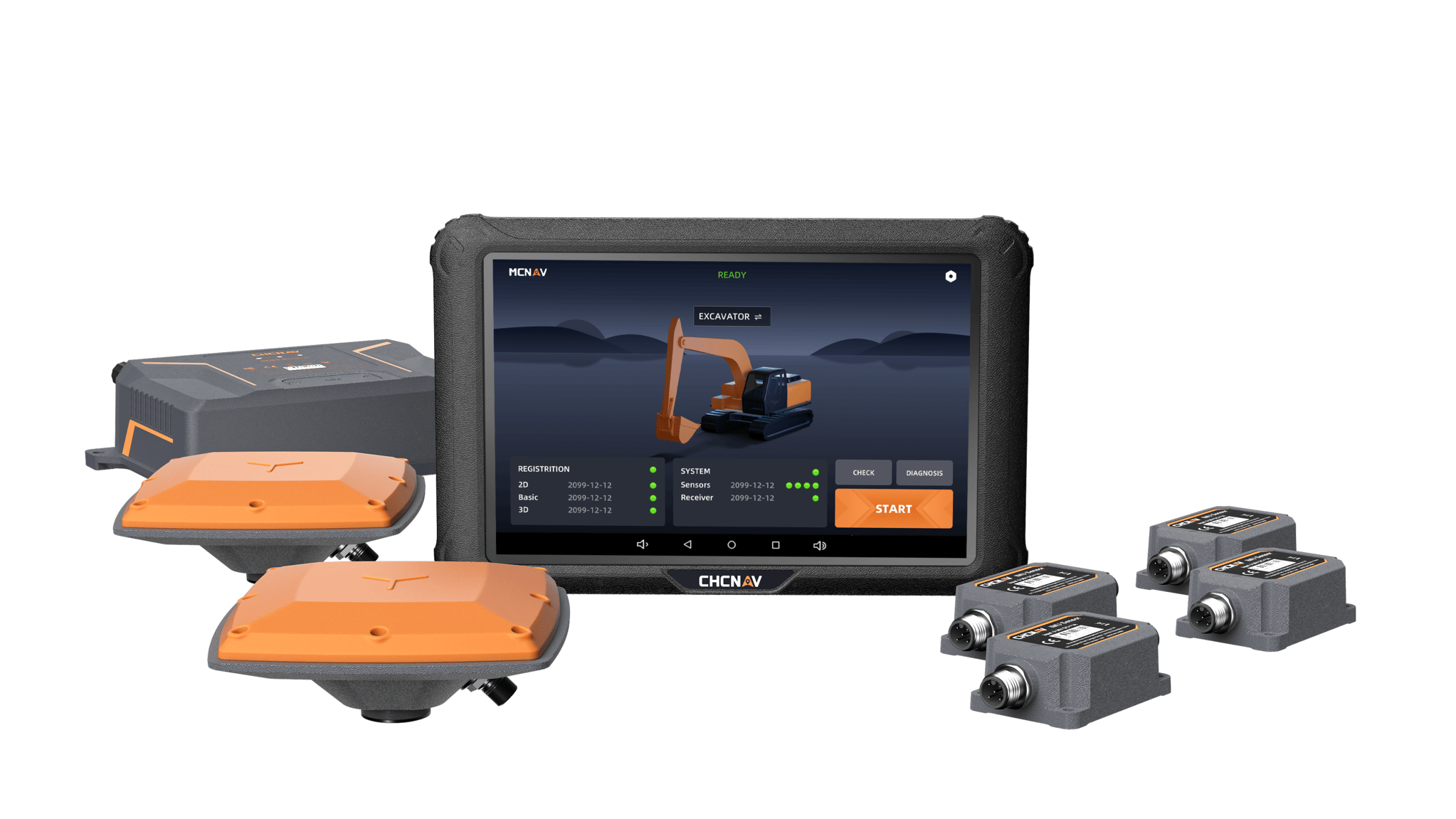
Premium RTK GNSS Excavator Guidance
Social Media


© 2025 MMS Design | All Rights Reserved | Web SEO by: DNASuperSystems