
AplhaUni Mapping System
Long-range high-end LiDAR solutions, providing most universal installation.
SURVEY-GRADE ACCURACY TOGETHER WITH LONG-RANGE CAPABILITY
Scanning range up to 920 m or 1350 m
With Riegl’s premium VUX-1 UAV and VUX-1 LR high-speed, long-range scanners, combined with industry-leading GNSS and IMU sensors, the AlphaUni 900 and 1300 are designed for the most demanding mapping applications where accuracy, high speeds and altitudes over large scan regions are a must.
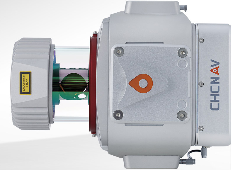
SURVEY-GRADE ACCURACY TOGETHER WITH LONG-RANGE CAPABILITY
Scanning range up to 920 m or 1350 m
With Riegl’s premium VUX-1 UAV and VUX-1 LR high-speed, long-range scanners, combined with industry-leading GNSS and IMU sensors, the AlphaUni 900 and 1300 are designed for the most demanding mapping applications where accuracy, high speeds and altitudes over large scan regions are a must.
GREATEST FLEXIBILITY
Support multiple platforms installation
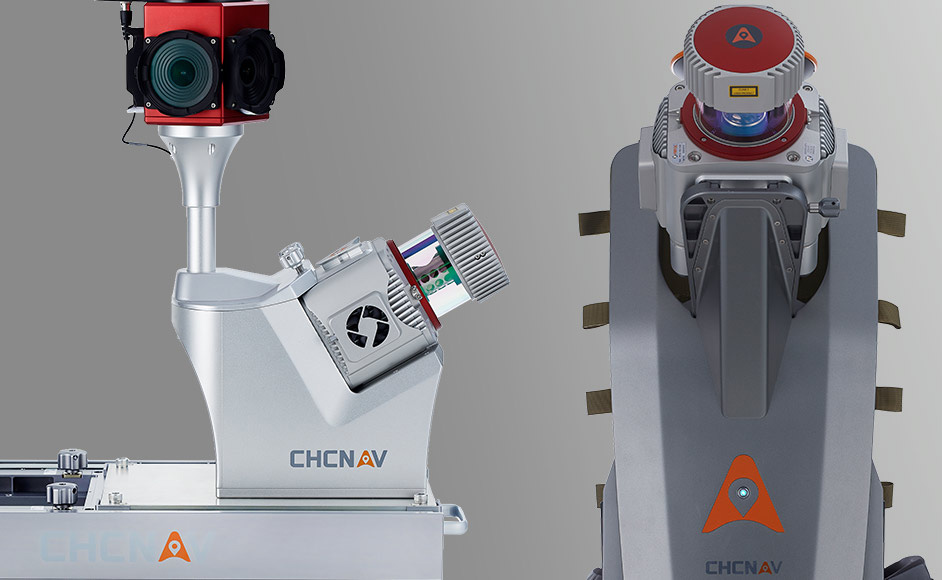
In only 5 minutes set-up time the AlphaUni 900 allows users to capture reality from multiple platforms, including different UAV models, multi-rotor and fixed-wing VTOL UAS, and then switch to vehicle mode for highway measurements and high-precision maps with our advanced kit with panoramic camera or quickly switch to backpack mode when the UAV and vehicle are unable to complete the mission.
CONNECTIVITY
Supporting for additional sensors
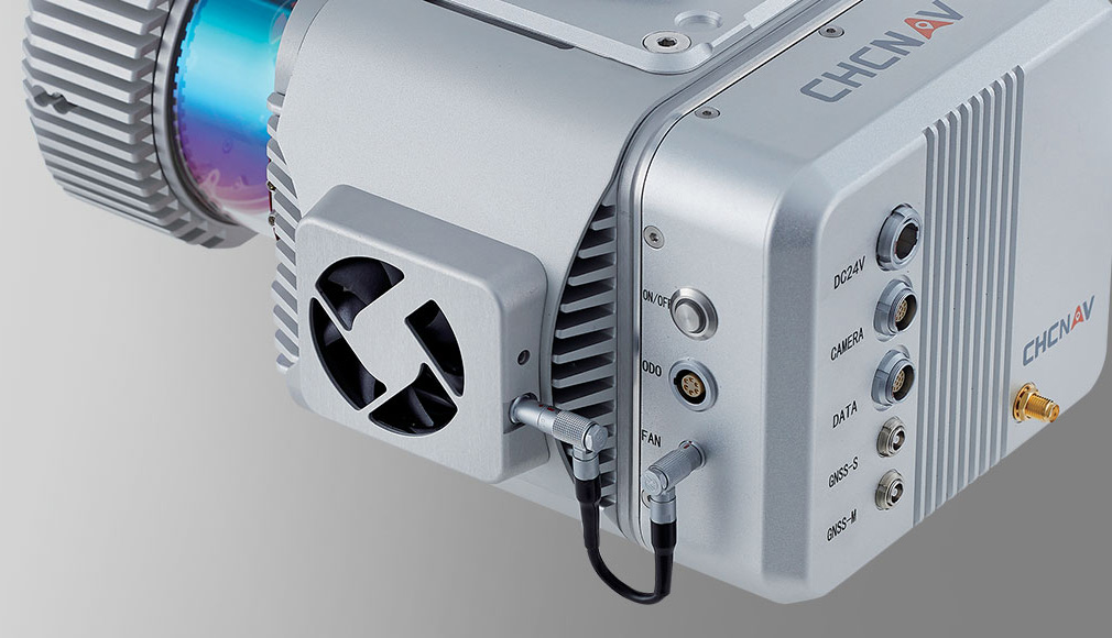
For multi-platform installation, the AlphaUni 900 & 1300 have different connection ports and support additional synchronization with DMI, GAMS (dual GNSS antenna), different cameras and other devices that support NMEA.
EFFICIENT WORKFLOW
From field data acquisition to office processing
CHCNAV offers a complete package to add the LiDAR solution to users’ geomatics services.
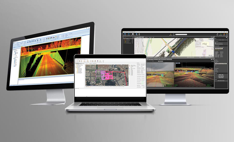
Fully automated reality capture and real-time mission monitoring using CoCapture field software and semi-automated point cloud processing using CoPre desktop software.
Perform final feature extraction in Orbit GT software or use CoProcess CAD software.
EFFICIENT WORKFLOW
From field data acquisition to office processing
CHCNAV offers a complete package to add the LiDAR solution to users’ geomatics services.
Fully automated reality capture and real-time mission monitoring using CoCapture field software and semi-automated point cloud processing using CoPre desktop software.
Perform final feature extraction in Orbit GT software or use CoProcess CAD software.
OVERVIEW
AlphaUni 900/1300 belongs to Alpha Mobile Mapping family, are high-end multi-platform LiDAR systems, which designed and improved by CHCNAV through many years of exploration and data capture experience.
AlphaUni 900/1300 offers fully integrated system with high-precision, long-range laser scanners with unique Waveform-LiDAR technology from Riegl and high-accuracy inertial navigation system, ready for demanding surveying missions in the air and on the ground, requiring the highest quality of data.
SPECIFICATIONS:
Wide-coverage dual-camera LiDAR for demanding UAV surveys
Up to 2,100 m range
Up to 2,000 kHz pulse rate
Up to 16 returns
1.85 kg integrated system
CHCNAV AlphaAir 6 Dual (AA6D)
Capture LiDAR and high-quality imagery across wide corridors and large-area projects with dual 26 MP APS-C cameras and a 110° horizontal field of view.
TX73 GNSS Guidance
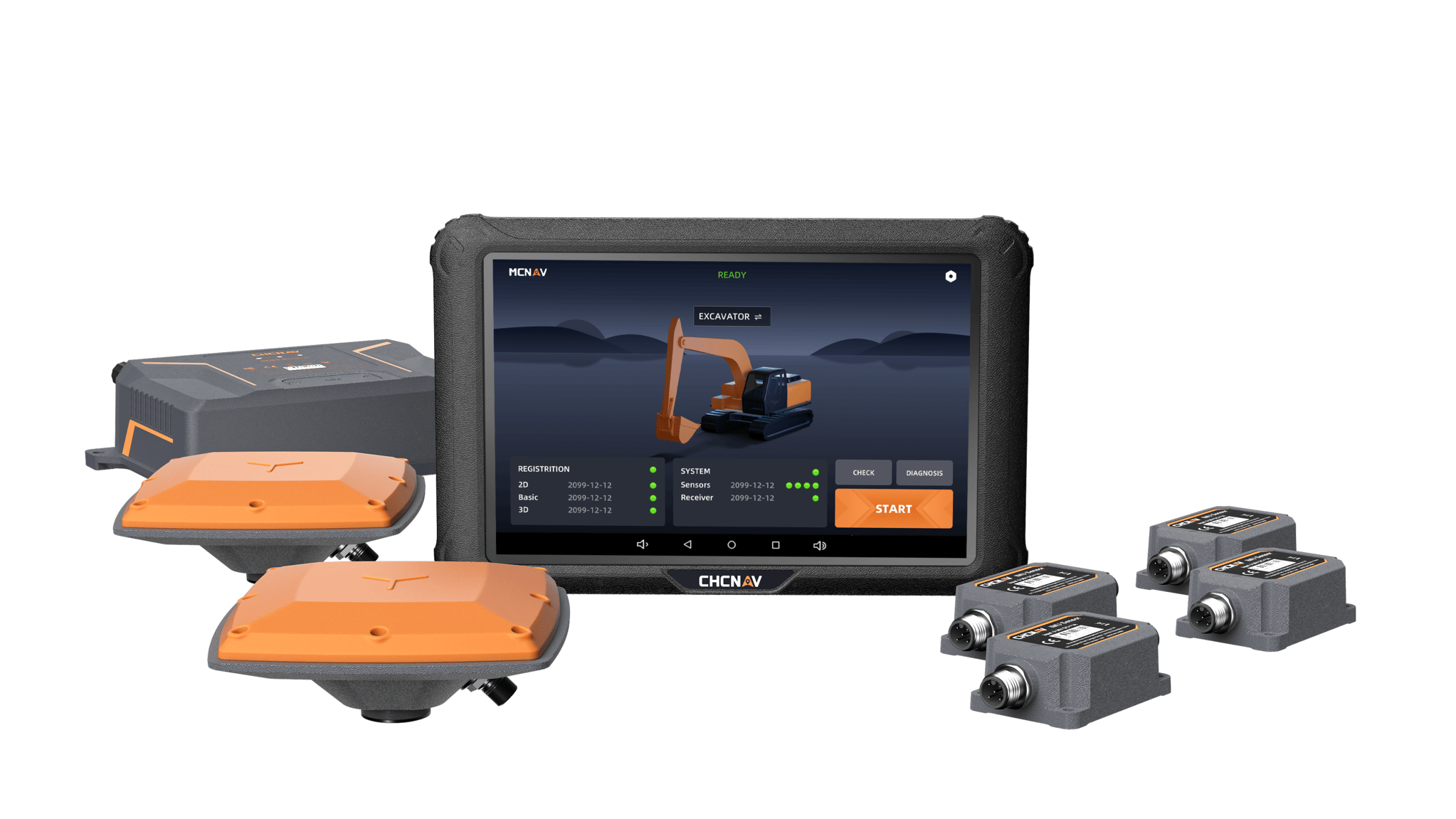
Premium RTK GNSS Excavator Guidance
Social Media


© 2025 MMS Design | All Rights Reserved | Web SEO by: DNASuperSystems