
AlphaAir 450
AlphaAir 450
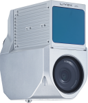
The AlphaAir 450 (AA450) is a major breakthrough in 3D mobile mapping technology, allowing its use by non-professional users in, geospatial reality capture applications and those who have never been able to access such technology before. The AlphaAir 450 offers ease of use and high precision capabilities at an affordable price.
AlphaAir 450 is the next generation of the CHCNAV LiDAR systems, which are widely used for power line inspection, topographic mapping, emergency response, agricultural and forestry surveys, and more. This all-in-one, lightweight and rugged system integrates a high-performance laser scanner with an industrial-grade professional 24 MP camera and a high-precision inertial navigation system for quality data collection.
FEATURES
Industrial-grade GNSS and high-precision IMU onboard
Long-range scanning combined with high-resolution imaging
Quick installation on any UAV
1 kg total weight with LiDAR and camera
Absolute accuracy 10cm Hz and 5cm Vert.
Skyport for DJI Matrice 300
256Gb Data Storage
[bafg id=”1138″ width=”854″ height=”480″]
TX73 GNSS Guidance
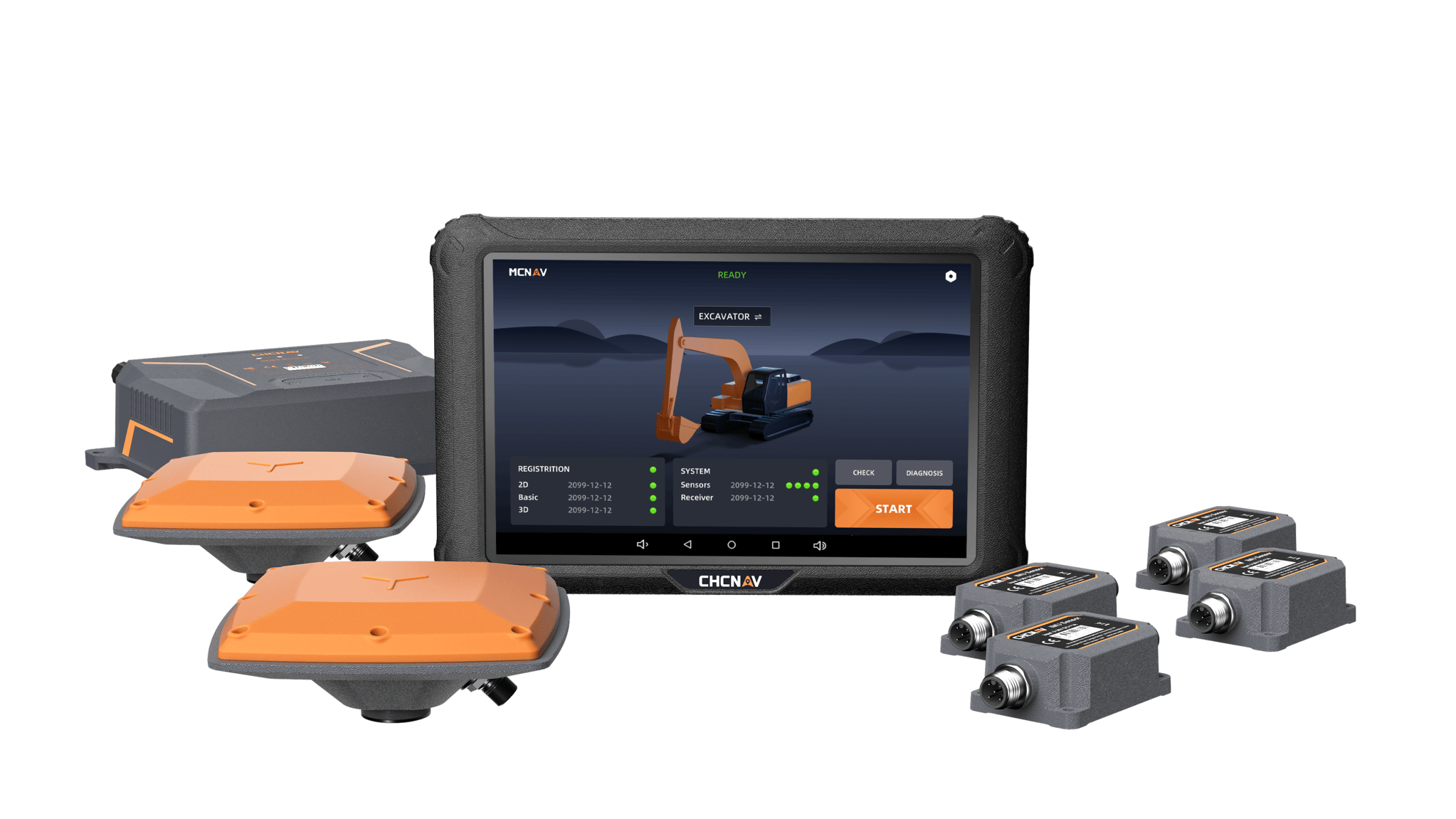
Premium RTK GNSS Excavator Guidance
Social Media
© 2025 MMS Design | All Rights Reserved | Web SEO by: DNASuperSystems