
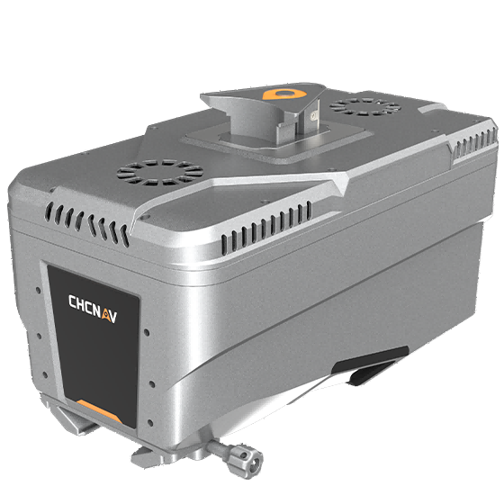
CHCNAV AlphaUni 20
Multi-platform Premium LiDAR
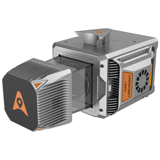
The AlphaAir 15 (AA15) is a lightweight, high-performance airborne LiDAR system designed for large-scale operations where high-density data capture is crucial.
With a range of up to 1800 meters and the ability to produce 2 million pulses per second, the AA15 is ideal for mapping and geospatial applications, including corridor mapping, urban planning, and vegetation analysis. Its compact design allows for easy integration with UAVs, small aircraft, and helicopters.
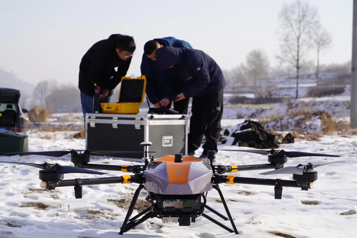
The AlphaUni 20 is a cost-effective, premium-class multi-platform mobile mapping system that embodies CHCNAV's advanced LiDAR technology. Designed for precise point cloud generation, it is ideal for applications including pavement assessment, highway maintenance, and asset management through vehicle-based surveying.
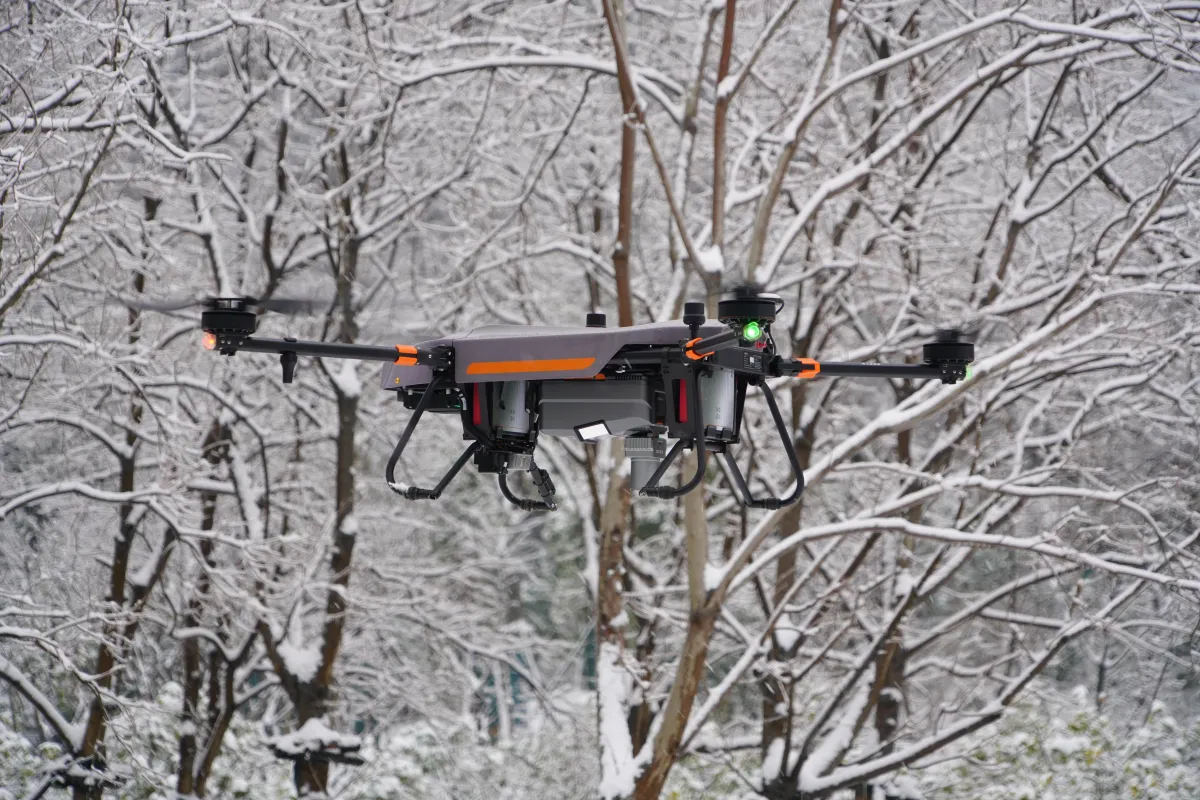
In airborne applications, the AU20 increases survey efficiency with excellent vegetation penetration, long measurement range, and high data accuracy and density.
MAIN FEATURES
MAIN FEATURES
High-Precision LiDAR
High Penetration
Multi-Platform
Imaging Options
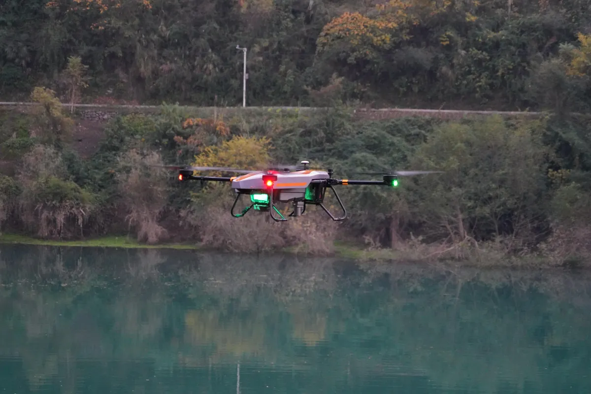
USE CASES
USE CASES
Coastal Zone Monitoring
Disaster Response and Recovery
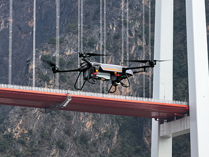
Power Line Corridor Mapping
Transportation Network Mapping
BENEFITS AND PERFORMANCES
BENEFITS AND PERFORMANCES
01 High-Accuracy Data Capture
The AA15 delivers 15 mm linear accuracy on long-range scans up to 150 meters using CHCNAV's patented tilted-prism technology. Its precision ensures reliable data for complex projects, such as corridor mapping, where high-density point clouds are essential.
02 Extended Range and Coverage
With a maximum range of 1800 meters and a flying height of up to 700 meters, the AA15 is capable of large-scale area coverage with minimal point loss for corridor mapping applications such as highways, railroads, and pipeline inspections.
03 Exceptional Vegetation Penetration
The AA15 excels in penetrating dense vegetation with its advanced multi-target capability, supporting up to 16 returns per laser pulse. It enables the detection of more ground points, ensuring comprehensive data collection in forested areas and improving the accuracy of terrain models.
04 Wide Platform Compatibility
The AA15’s lightweight design (2.5 kg) and CHCNAV's unified AlphaPort interface allow for quick integration with various airborne platforms, including UAVs, small aircraft, and helicopters.
05 High-Density Point Clouds
Capturing 2 million points per second, the AA15 is perfect for applications requiring high-density point clouds, such as power line inspections, road surveys, and urban mapping.
06 Advanced Imaging Options
The AA15 supports a range of external cameras, including CHCNAV's 45 MP and 61 MP full-frame calibrated cameras and a 130 MP half-frame oblique camera. The integration of high-resolution imagery with LiDAR data enhances the quality of 3D models and texture mapping.
07 Comprehensive Ecosystem
The AA15 is part of CHCNAV's complete airborne mapping solution, which includes the SmartGo app for automated reality capture and mission monitoring, and CoPre and CoProcess software for streamlined post-processing and feature extraction.
08 Rugged and Reliable
Designed to withstand challenging environments, the AA15 operates in temperatures ranging from -20°C to +50°C and is IP64-rated for dust and water resistance. Its robust construction ensures reliable performance in a variety of field conditions.
TX73 GNSS Guidance
Premium RTK GNSS Excavator Guidance
Social Media
© 2025 MMS Design | All Rights Reserved | Web SEO by: DNASuperSystems
Wide-coverage dual-camera LiDAR for demanding UAV surveys
Up to 2,100 m range
Up to 2,000 kHz pulse rate
Up to 16 returns
1.85 kg integrated system
CHCNAV AlphaAir 6 Dual (AA6D)
Capture LiDAR and high-quality imagery across wide corridors and large-area projects with dual 26 MP APS-C cameras and a 110° horizontal field of view.