
SLAM100 Handheld Laser Scanner
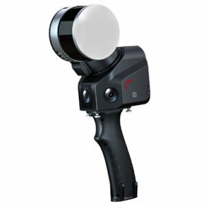
SLAM100
The SLAM100 is the first handheld lidar scanner launched by Feima Robotics.
The system has a 360-degree rotating head, which can form a 270-degree X 360-degree point cloud coverage.
Combined with the industry-level SLAM algorithm, it can obtain high-precision three-dimensional point cloud data of the surrounding environment without light and GPS.
FEATURES
270º x 360º Laser FOV.
Three 5-megapixel cameras form a horizontal 200-degree and a vertical 100-degree field of view.
Higher precision 3D point cloud data.
Wealth of external interfaces, which can be connected to a panoramic camera, a GPS module, a car, a UAV, and more.
Wide-coverage dual-camera LiDAR for demanding UAV surveys
Up to 2,100 m range
Up to 2,000 kHz pulse rate
Up to 16 returns
1.85 kg integrated system
CHCNAV AlphaAir 6 Dual (AA6D)
Capture LiDAR and high-quality imagery across wide corridors and large-area projects with dual 26 MP APS-C cameras and a 110° horizontal field of view.
TX73 GNSS Guidance
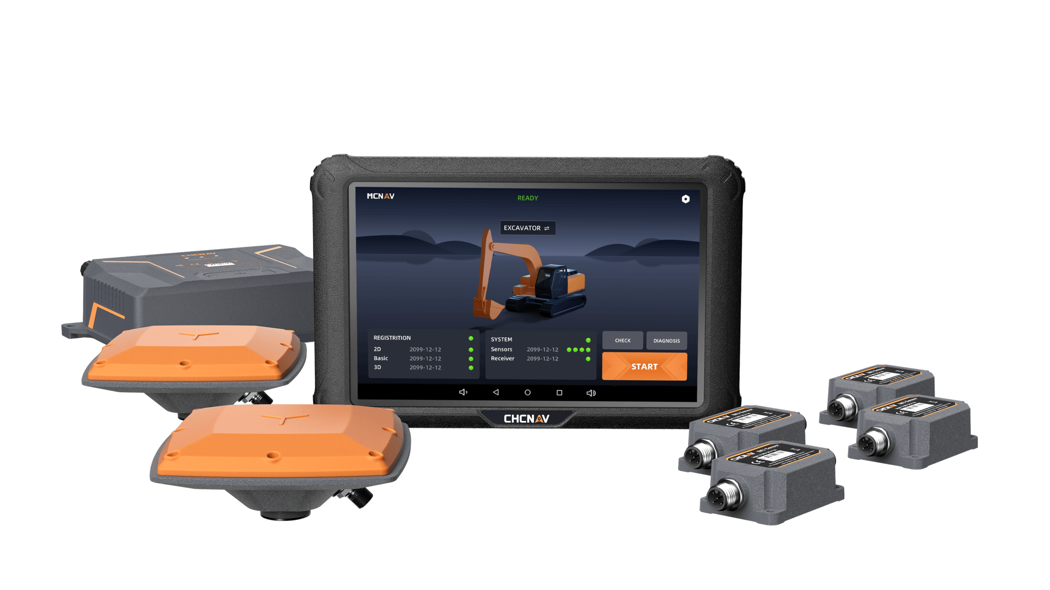
Premium RTK GNSS Excavator Guidance
Social Media


© 2025 MMS Design | All Rights Reserved | Web SEO by: DNASuperSystems